Map of the week - State of Bathing Water Map – July 2018
Have you ever wondered how good the quality of the water is at a particular beach in Europe? The state of bathing water may be one of the most relevant data that can influence your holidays.
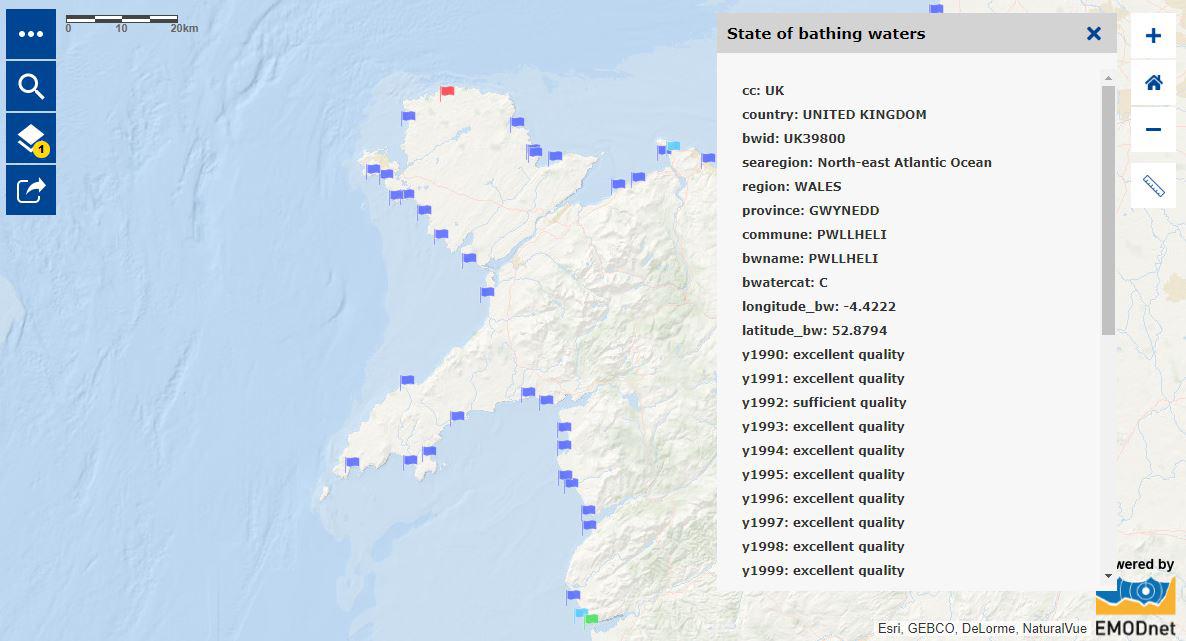
At the onset of the summer vacation, the European Atlas of the Seas is providing you with a map which gives an overview of the bathing water quality along the European coasts.
The map presents a compilation of data from 1990 until 2016 provided by The European Topic Centre on Water made available by the European Environment Agency (www.eea.eu).
The water quality is represented by flags of different colours, which indicate the different state of the bathing water (e.g. excellent, good, sufficient and poor) at specific beach locations where the quality of the water is regularly assessed.
The Atlas makes it very easy for you to check the quality of Europe’s bathing waters wherever you are spending your holidays. More importantly, you can find all the data you need to advocate cleaner beaches in Europe. Start your own campaign for clean seas and habitat restoration!
See the map:
http://ec.europa.eu/maritimeaffairs/atlas/maritime_atlas/#lang=EN;p=w;bkgd=5;theme=17:0.75;c=-445787.5433614946,7045695.016829189;z=5
This map is hosted by the EMODnet Human Activities portal:
http://www.emodnet-humanactivities.eu