Dear EMODnet partners, colleagues and friends,
It has become a tradition: at the beginning of every new year, we take a moment to reflect with you on the previous year, to take stock of EMODnet’s achievements and look forward to what the coming year will bring for our growing network of data providing partners, service implementers and users.
The EUNIS habitat classification is a comprehensive pan-European system for habitat identification. The classification is hierarchical and covers all types of habitats from natural to artificial, from terrestrial to freshwater and marine. The habitat types are identified by specific codes, names and descriptions and come with cross-walks to other habitat typologies.
The EMODnet Seabed Habitats Map viewer contains over 80 modelled maps of specific habitat type. Models showing the predicted presence/absence of OSPAR habitats such as Lophelia pertusa and the newly listed Kelp Forests, are available to view, download or add as a web mapping service (WMS). Models for other Regional Sea Convention areas include spatial distributions of coralligenous outcrops across the Mediterranean Sea and over 20 species distribution models in the Baltic Sea.
To assist EU Member States with reporting under MSFD, EMODnet Seabed Habitats have recently produced a summary of the extent of each MSFD Benthic Broad Habitat Type per country and sub-region. These summaries are contained within a spreadsheet and are freely available to download from the Documents and Outreach page.
The Easter bells brought us the good news that the EMODnet Data Ingestion project is now entering its phase 3 for two years. This confirms the unwavering support of the team work of 43 organizations for streamlining the data ingestion process. The leadership of the project has been confirmed with the Mariene Informatie Service B.V. (MARIS) as coordinator and the Hellenic Centre for Marine Research (HCMR) as scientific coordinator.
The EMODnet Seabed Habitat map viewer displays and gives access to broad scale predictive habitat maps and collated seabed habitat maps from surveys within Europe's marine waters. In addition, habitat models, composite products, protected habitats and point data have also been collated. This story map gives an illustrative description of the products found on the portal.
The latest OSPAR Threatened and/or Declining Habitats dataset (version 2020) is now available to view, download and access as a web service via the EMODnet Seabed Habitats portal. This dataset comprises point and polygon data and shows the distribution of habitats on the OSPAR list of threatened and/or declining species and habitats within the North-east Atlantic.
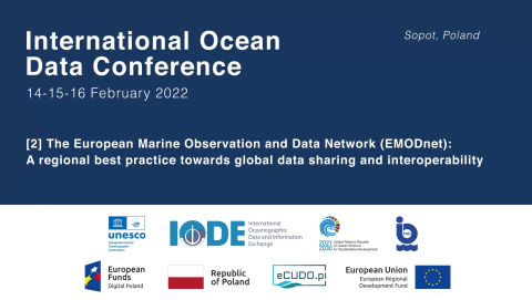
On 14-16 February 2022, EMODnet experts came together with international representatives of ocean data in Sopot, Poland and online to present the latest status, achievements and future evolution of EMODnet at the International Ocean Data Conference 2022 - The Data We Need for the Ocean We Want organized by IOC-UNESCO and the Intergovernmental Oceanographic Data and Information Exchange (IODE), in collaboration with the Institute of Oceanology of Polish Academy of Sciences (IO-PAN), eCUDO.pl and...
")
")
")

. ©EMODnet")