 EMODnet product catalogue
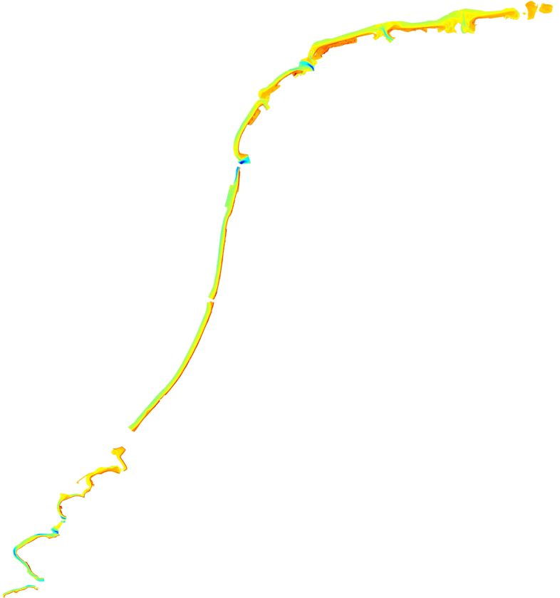
1527_Yearly Coastal Survey 2018
Yearly Survey for control of the position of the coastal shoreline
Simple
- Date (Creation)
- 2018-09-17
- Date (Revision)
- Citation identifier
- Yearly_Coastal_Survey_2018
- Point of contact
-
Organisation name Individual name Electronic mail address Role Rijkswaterstaat Central Information Services
Originator Rijkswaterstaat Central Information Services
Custodian
-
Parameter Discovery Vocabulary (P02)
-
-
Bathymetry and Elevation
-
-
SeaDataNet device categories
-
-
single-beam echosounders
-
-
Positioning devices
-
-
Differential Global Positioning System receivers
-
-
Vertical Datum
-
-
Normaal Amsterdams Peil
-
mean sea level
-
-
Project name
-
-
EMODnet HRSM
-
-
Thèmes Sextant
-
-
/Physical Environment/Bathymetry/Digital Terrain Model
-
- Access constraints
- Creative Commons Attribution 4.0 International
- Use constraints
- Other restrictions
- Other constraints
-
DO NOT USE FOR NAVIGATION
- Spatial representation type
- Grid
- Denominator
- 5000
- Distance
- 0.015625 Arc minute
- Language
- English
- Character set
- UTF8
- Topic category
-
- Oceans
- Begin date
- 2018-02-13
- End date
- 2018-06-29
Vertical extent
- Minimum value
- 30
- Maximum value
- 55
))
- Reference system identifier
- WGS84 /
- Number of dimensions
- 3
- Dimension name
- Column
- Dimension size
- 11000
- Dimension name
- Row
- Dimension size
- 12000
- Dimension name
- Time
- Dimension size
- 1
- Cell geometry
- Point
- Transformation parameter availability
- No
- Checkpoint Availability
- No
- Point in Pixel
-
- Lower left
- Distribution format
-
Name Version
- Distributor contact
-
Organisation name Individual name Electronic mail address Role Rijkswaterstaat Central Information Services
Distributor
- Transfer size
- 4MB
- OnLine resource
-
Protocol Linkage Name WWW:DOWNLOAD
https://downloads.emodnet-bathymetry.eu/high_resolution/1527_Yearly_Coastal_Survey_2018.emo.zip WWW:LINK
https://tiles.emodnet-bathymetry.eu/ EMODnet Bathymetry WMTS service
WWW:LINK
https://emodnet.ec.europa.eu/geoviewer EMODnet viewer
- Hierarchy level
- Dataset
Conformance result
- Title
-
Shoal bias
- Date
- Pass
- No
Quantitative attribute accuracy
- Name of measure
-
depth
- Measure identification
- depth accuracy
Quantitative result
- Value
- not defined
Gridded data positional accuracy
- Name of measure
-
horizontal accuracy
- Measure identification
- horizontal accuracy of coordinate
Quantitative result
- Value type
- horizontal accuracy
Absolute external positional accuracy
- Name of measure
-
emodnet-bathymetry.QI.Horizontal
- Value
- 3 - < 20 m
Absolute external positional accuracy
- Name of measure
-
emodnet-bathymetry.QI.Vertical
- Value
- 3 - Lidar, SBES high frequency
Domain consistency
- Name of measure
-
emodnet-bathymetry.QI.Purpose
- Value
- 2 - Bathymetric/morphologic survey
- Hierarchy level
- Software
- Other
-
software
- Hierarchy level
- Property type
- Description
-
parameters of data processing
- Statement
-
processed with Digipol to grid, EMODnet processing methodology using Globe software
- Description
-
singlebeam line data, appr 200-250m, processed with Digipol to 20x20m grid, combined with Lidar DTM. CDI-record id 2816681
Metadata
- File identifier
- SDN_CPRD_1527_Yearly_Coastal_Survey_2018 XML
- Metadata language
- English
- Character set
- UTF8
- Hierarchy level name
-
Composite Product Record
- Date stamp
- 2025-03-07T14:09:28.060429Z
- Metadata standard name
-
ISO 19115:2003/19139 - EMODNET - BATHYMETRY
- Metadata standard version
-
1.0
- Metadata author
-
Organisation name Individual name Electronic mail address Role Rijkswaterstaat Central Information Services
Author Royal Netherlands Navy, Hydrographic Service
Author
)))
