 EMODnet product catalogue
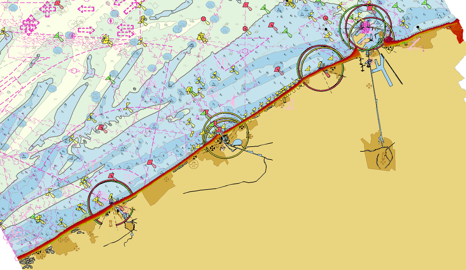
2243_EMODNet DTM of the Belgian Laser Altimetry Surveys for the coastal waters
Source data for the EMODNet DTM for the Belgium Coastal Waters is compiled by the Vlaamse Hydrografie ( http://www.afdelingkust.be/en/bathymetric-database) at a resolution of 1/512 arc minute.
The data set covers dry coast and dunes along the Belgian coast.
Simple
- Alternate title
-
BELGIUM_BCP_DTM01022018
- Date (Creation)
- 2018-02-01T10:45:00
- Date (Revision)
- 2018-02-01T14:45:00
- Citation identifier
- BELGIUM_LIDAR_COASTAL_DTM010218
- Point of contact
-
Organisation name Individual name Electronic mail address Role Flemish Ministry of Mobility and Public Works; Agency for Maritime and Coastal Services; Coastal Division
Custodian Flemish Ministry of Mobility and Public Works; Agency for Maritime and Coastal Services; Coastal Division
Originator
-
Project name
-
-
EMODnet HRSM
-
-
SeaDataNet device categories
-
-
laser altimeters
-
-
Parameter Discovery Vocabulary (P02)
-
-
Bathymetry and Elevation
-
-
GEMET - INSPIRE themes, version 1.0
-
-
Elevation
-
- Access constraints
- Creative Commons Attribution 4.0 International
- Use constraints
- Other restrictions
- Other constraints
-
DO NOT USE FOR NAVIGATION
- Spatial representation type
- Grid
- Denominator
- 50000
- Distance
- 0.001953 Arc minute
- Language
- English
- Character set
- UTF8
- Topic category
-
- Elevation
- Begin date
- 2017-05-26T09:00:00
- End date
- 2017-05-26
))
- Geographic identifier
- North Sea
- Geographic identifier
- EPSG / Not projected / 7.4
- Reference system identifier
- EPSG / ETRS89 (EPSG:4258) / 8.6
- Distribution format
-
Name Version GeoTIFF
1.0
BAG
1.5.2
PNG
1.0
JPEG
1.0
XYZ Ascii
1.0
- Distributor contact
-
Organisation name Individual name Electronic mail address Role Flemish Ministry of Mobility and Public Works; Agency for Maritime and Coastal Services; Coastal Division
Distributor
- OnLine resource
-
Protocol Linkage Name WWW:LINK
https://www.afdelingkust.be/en/bathymetric-database WWW:DOWNLOAD
https://downloads.emodnet-bathymetry.eu/high_resolution/2243_BELGIUM_LIDAR_COASTAL_DTM010218.emo.zip WWW:LINK
https://tiles.emodnet-bathymetry.eu/ EMODnet Bathymetry WMTS service
WWW:LINK
https://emodnet.ec.europa.eu/geoviewer EMODnet viewer
- Hierarchy level
- Dataset
Vertical extent
- Minimum value
- -0.2
- Maximum value
- 29.7
Vertical CS
Vertical datum
- Statement
-
no information
- Hierarchy level
- Feature
- Dataset
-
accuracy
Gridded data positional accuracy
- Name of measure
-
horizontal accuracy
- Measure identification
- horizontal accuracy of coordinate
- Measure description
-
IHO S-44
- Evaluation method description
-
IHO S-44
Quantitative result
- Value type
- Measure(s) (value(s) + unit(s))
- Value
- IHO S-44
Quantitative attribute accuracy
- Name of measure
-
depth
- Measure identification
- depth accuracy
- Measure description
-
IHO S-44
- Evaluation method description
-
IHO S-44
Quantitative result
- Value
- not defined
Conformance result
- Title
-
Shoal bias
- Date (Creation)
- Explanation
-
For laser altimetry survey the minimum depth is selected.
- Pass
- Yes
- Hierarchy level
- Software
- Description
-
CARIS BathyDatabase software suite
- Other
-
software
- Hierarchy level
- Property type
- Description
-
parameters of data processing
Attributes
- Statement
-
Description of data processing :
The original data is delivered in longitude/latitude (non projected) coordinates in the EMODnet format adding the required field using the CARIS BathyDatabase software suite.
List of the survey projects used to combine the EMODNet DTM for the Belgium Coastal Zone:
2017_voja_Zone_A_maa LIDAR De_Panne - Oostduinkerke 1/512 arc
2017_voja_Zone_B_maa LIDAR Oostduinkerke - Nieuwpoort 1/512 arc
2017_voja_Zone_C_maa LIDAR Nieuwpoort - Middelkerke 1/512 arc
2017_voja_Zone_D_maa LIDAR Westende – Middelkerke 1/512 arc
2017_voja_Zone_E_maa LIDAR Middelkerke - Oostende 1/512 arc
2017_voja_Zone_F_maa LIDAR Oostende - Bredene 1/512 arc
2017_voja_Zone_G_maa LIDAR Bredene - Wenduine 1/512 arc
2017_voja_Zone_H_maa LIDAR Wenduine - Blankenberge 1/512 arc
2017_voja_Zone_I_maa LIDAR Blankenberge - Zeebrugge 1/512 arc
2017_voja_Zone_J_maa LIDAR Heist - Zwin 1/512 arc
2017_voja_Zone_K_maa LIDAR Zwin - Cadzand 1/512 arc
- Description
-
Description of processed data sources: Description of processed data sources: various laser altrimetry surveys collected for compilation of nautical charts and to follow coastal erosion.
- Hierarchy level
- Dataset
Absolute external positional accuracy
- Name of measure
-
emodnet-bathymetry.QI.Horizontal
- Value
- 3 - < 20 m
Absolute external positional accuracy
- Name of measure
-
emodnet-bathymetry.QI.Vertical
- Value
- 4 - MBES High frequency (higher that 100kHz) (1+0.5%d)
Domain consistency
- Name of measure
-
emodnet-bathymetry.QI.Purpose
- Value
- 3 - Hydrographic survey or compatible with hydrographic standards
Metadata
- File identifier
- SDN_CPRD_2243_BELGIUM_LIDAR_COASTAL_DTM010218 XML
- Metadata language
- English
- Character set
- UTF8
- Hierarchy level name
-
Composite Product Record
- Date stamp
- 2025-03-07T14:08:53.50619Z
- Metadata standard name
-
ISO 19115:2003/19139 - EMODNET - BATHYMETRY
- Metadata standard version
-
1.0
- Metadata author
-
Organisation name Individual name Electronic mail address Role Flemish Ministry of Mobility and Public Works; Agency for Maritime and Coastal Services; Coastal Division
Author
)))
