 EMODnet product catalogue
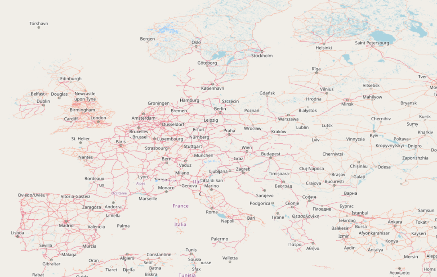
EMODnet Bathymetry land geography and topography (OSM)
OpenStreetMap (OSM) is a collaborative project to create a free editable geographic database of the world. The geodata underlying the maps is considered the primary output of the OSM project. The creation and growth of OSM has been motivated by restrictions on use or availability of map data across much of the world, and the advent of inexpensive portable satellite navigation devices. EMODnet bathymetry considers OSM to be the best source for land data to complement the marine environment and to allow easier navigation in the data portal.
OpenStreetMap is a free and noncommercial project; everyone can just download OpenStreetMap data free of charge and process it. However EMODnet Bathymetry requires a tailored rendering of OpenStreetMap data as in all standard available visualisations the world oceans are obscured by water features which have no use in a marine environment. In addition, EMODnet requires a non-projected rendering with no land use which is not the OSM render default.
The OSM rendering is provided to EMODnet by the German company Geofabrik (www.geofabrik.de).
Simple
- Date (Publication)
- Citation identifier
- EMODnet_Bathy_OSM
- Point of contact
-
Organisation name Individual name Electronic mail address Role EMODnet Bathymetry Consortium
Point of contact
- Access constraints
- Creative Commons Attribution 4.0 International
- Use constraints
- Other restrictions
- Other constraints
-
DO NOT USE FOR NAVIGATION
- Spatial representation type
- Vector
- Language
- English
- Character set
- UTF8
- Topic category
-
- Oceans
))
- Distribution format
-
Name Version
- OnLine resource
-
Protocol Linkage Name WWW:LINK
https://tiles.emodnet-bathymetry.eu/ EMODnet Bathymetry WMTS service
WWW:LINK
https://emodnet.ec.europa.eu/geoviewer EMODnet viewer
- Hierarchy level
- Dataset
Domain consistency
Conformance result
- Title
-
RÈGLEMENT (UE) N o 1089/2010 DE LA COMMISSION du 23 novembre 2010 portant modalités d'application de la directive 2007/2/CE du Parlement européen et du Conseil en ce qui concerne l'interopérabilité des séries et des services de données géographiques
- Date (Publication)
- 2010-12-08
- Explanation
-
See the referenced specification
Metadata
- File identifier
- d03d9969-42ea-4d55-88f3-489840c48037 XML
- Metadata language
- Français
- Character set
- UTF8
- Hierarchy level
- Dataset
- Date stamp
- 2025-05-16T00:13:10.02931Z
- Metadata standard name
-
ISO 19115-3 - SEXTANT
- Metadata standard version
-
1.0
)))
