Updated geological events layers from EMODnet Geology

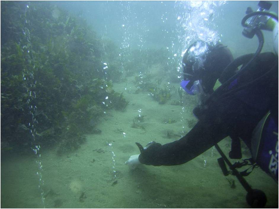
The EMODnet Geology team responsible for the work on Geological events and probabilities, led by Geological Survey of Italy - ISPRA, has released new datasets on earthquakes, submarine landslides, volcanoes, tsunamis, fluid emissions and Quaternary tectonics in seas surrounding European countries. Event data are subdivided into layers according to type of event, geometry (polygons, points and lines) and scale (1:250k and 1:100k or more detailed). Each occurrence is complemented by additional information (where available), which is displayed when clicking on it.
Layers provide information on which type of events occurred where and when, indicating areas more subject to their occurrences. Fluid emissions of volcanic and non-volcanic origin are now displayed together in the same layers. Deliveries of different phases concerning tsunamis have been grouped in single layers. The earthquakes layer has been implemented, particularly with data from the Black Sea and the Caspian Sea. Such information is relevant for land management and coastal protection, increasing awareness on the hazards which might affect coastal areas. Even though EMODnet Geology “Events and probabilities” layers do not provide direct information on geohazard assessment, the huge amount of data available provides a solid baseline for further studies addressed at this relevant issue.
EMODnet Geology Partners have provided data regarding marine areas surrounding their countries, extending from Iceland to Turkey and including the Caspian Sea. Data had been either directly acquired by partners' surveys, obtained by cooperation with third parties or retrieved in the literature. Data have been elaborated according to the guidelines, following discussion with partners and based on their feedback. EMODnet Geology has collated all deliveries, checked their guidelines compliance, harmonized complementary details and elaborated symbols to display occurrences. Datasets will continue to be updated with additional information retrieved.
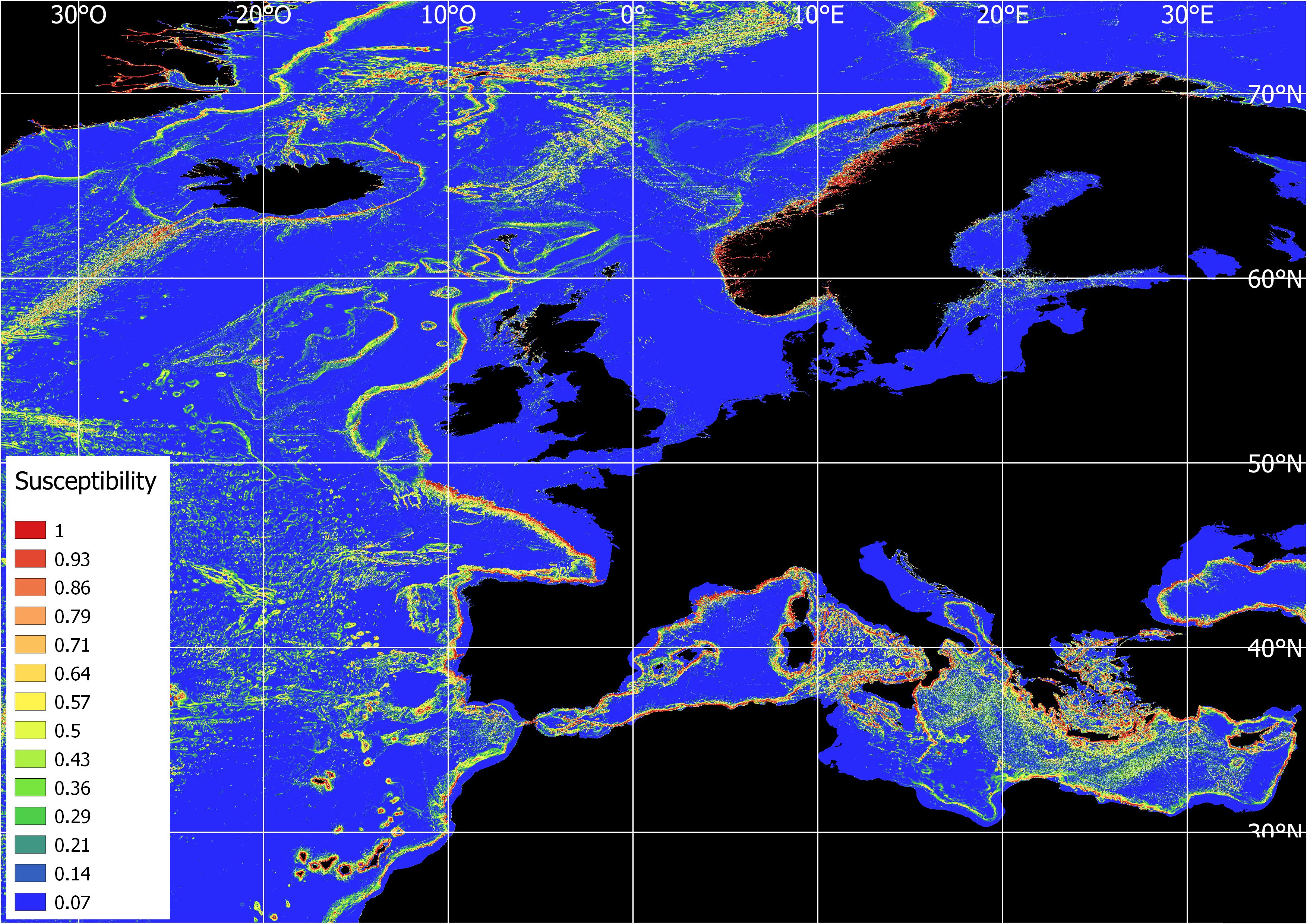
A submarine landslide susceptibility map
The most challenging part of the work has been to identify a way to express probabilities concerning geological events. Due to the large areas involved and to the lesser information available for submarine events, as opposed to those on land, it might be possible to only elaborate susceptibility models. However, no well-known models exist to assess the susceptibility of all marine geological events. Nevertheless, starting from the points, lines and polygons of the landslide datasets together with the bathymetry and slope derived from the EMODnet Bathymetry Portal, a submarine landslide susceptibility map was elaborated by applying the maximum entropy model (MaxEnt). The model and the method used to generate the submarine landslide susceptibility map are described in a paper published in the Quarterly Journal of Engineering Geology and Hydrogeology Special Issue on EMODnet Geology (Innocenti et al., 2020, doi: dx.doi.org/10.1144/qjegh2020-027).
Media
Services
Visualize EMODnet Geology Geological Events layers
Integrate the Geological Events layers in your own desktop software using WMS and WFS
Related links
Mapping geological events in submerged areas
Submarine landslides: mapping the susceptibility in European seas
Please note that EMODnet is in the process to provide a central access point to its data and data products through the
Central Portal in the coming months. More information can be found here.