SeaDataNet biological format biotic parameters
Type of resources
Available actions
Topics
Keywords
Contact for the resource
Provided by
Years
Formats
Representation types
Update frequencies
-

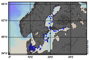
EMODnet Chemistry aims to provide access to marine chemistry data sets and derived data products concerning eutrophication, ocean acidification and contaminants. The chemicals chosen reflect importance to the Marine Strategy Framework Directive (MSFD). This regional aggregated dataset contains all unrestricted EMODnet Chemistry data on contaminants (49 parameters), and covers the Baltic Sea with 3818 CDI records divided per matrices: 1358 biota (396 Vertical profiles and 962 Time series),906 water profiles, 2510 sediment profiles. Vertical profiles temporal range is from 1985-04-16 to 2016-09-27. Time series temporal range is from 1972-05-02 to 2017-10-30. Data were aggregated and quality controlled by ‘Swedish Meteorological and Hydrological Institute (SMHI)’ from Sweden. Regional datasets concerning contaminants are automatically harvested. Parameter names in these datasets are based on P01, BODC Parameter Usage Vocabulary, which is available at: http://seadatanet.maris2.nl/bandit/browse_step.php . Each measurement value has a quality flag indicator. The resulting data collections for each Sea Basin are harmonised, and the collections are quality controlled by EMODnet Chemistry Regional Leaders using ODV Software and following a common methodology for all Sea Regions. Harmonisation means that: (1) unit conversion is carried out to express contaminant concentrations with a limited set of measurement units (according to EU directives 2013/39/UE; Comm. Dec. EU 2017/848) and (2) merging of variables described by different “local names” ,but corresponding exactly to the same concepts in BODC P01 vocabulary. The harmonised dataset can be downloaded as ODV spreadsheet (TXT file), which is composed of metadata header followed by tab separated values. This worksheet can be imported to ODV Software for visualisation (More information can be found at: https://www.seadatanet.org/Software/ODV ). The same dataset is offered also as XLSX file in a long/vertical format, in which each P01 measurement is a record line. Additionally, there are a series of columns that split P01 terms in subcomponents (measure, substance, CAS number, matrix...).This transposed format is more adapted to worksheet applications users (e.g. LibreOffice Calc). The 49 parameter names in this metadata record are based on P02, SeaDataNet Parameter Discovery Vocabulary, which is available at: http://seadatanet.maris2.nl/v_bodc_vocab_v2/vocab_relations.asp?lib=P02 . Detailed documentation will be published soon. The original datasets can be searched and downloaded from EMODnet Chemistry Download Service: https://emodnet-chemistry.maris.nl/search
-

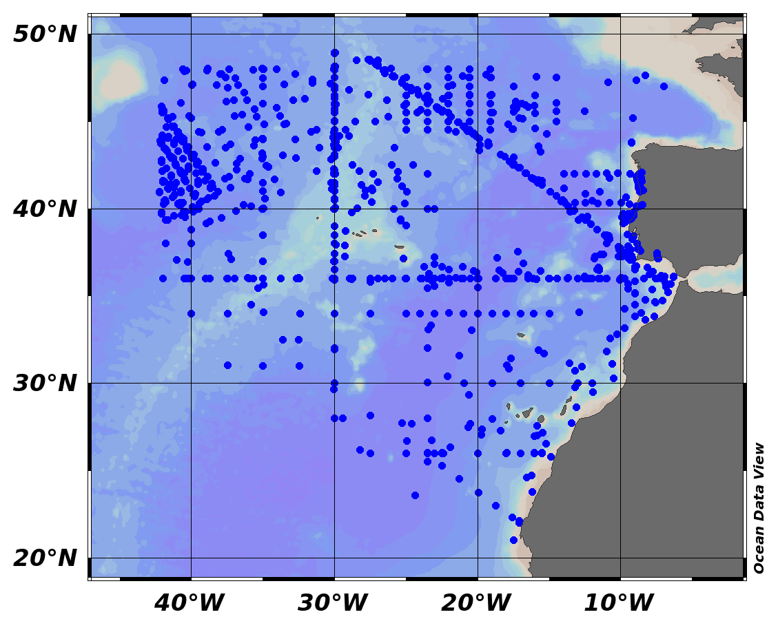
EMODnet Chemistry aims to provide access to marine chemistry data sets and derived data products concerning eutrophication, ocean acidification and contaminants. The chemicals chosen reflect importance to the Marine Strategy Framework Directive (MSFD). This regional aggregated dataset contains all unrestricted EMODnet Chemistry data on contaminants (20 parameters), and covers the North East Atlantic Ocean with 2400 CDI records divided per matrices: 122 in biota (as time series), 1689 in water (as vertical profiles), 589 in sediment (478 Vertical profiles and 111 Time series). Vertical profiles temporal range is from 1970-07-29 to 2017-02-28. Time series temporal range is from 1979-02-28 to 2014-10-21. Data were aggregated and quality controlled by ‘IFREMER / IDM / SISMER - Scientific Information Systems for the SEA’ from France. Regional datasets concerning contaminants are automatically harvested. Parameter names in these datasets are based on P01, BODC Parameter Usage Vocabulary, which is available at: http://seadatanet.maris2.nl/bandit/browse_step.php . Each measurement value has a quality flag indicator. The resulting data collections for each Sea Basin are harmonised, and the collections are quality controlled by EMODnet Chemistry Regional Leaders using ODV Software and following a common methodology for all Sea Regions. Harmonisation means that: (1) unit conversion is carried out to express contaminant concentrations with a limited set of measurement units (according to EU directives 2013/39/UE; Comm. Dec. EU 2017/848) and (2) merging of variables described by different “local names” ,but corresponding exactly to the same concepts in BODC P01 vocabulary. The harmonised dataset can be downloaded as ODV spreadsheet (TXT file), which is composed of metadata header followed by tab separated values. This worksheet can be imported to ODV Software for visualisation (More information can be found at: https://www.seadatanet.org/Software/ODV ). The same dataset is offered also as XLSX file in a long/vertical format, in which each P01 measurement is a record line. Additionally, there are a series of columns that split P01 terms in subcomponents (measure, substance, CAS number, matrix...).This transposed format is more adapted to worksheet applications users (e.g. LibreOffice Calc). The 20 parameter names in this metadata record are based on P02, SeaDataNet Parameter Discovery Vocabulary, which is available at: http://seadatanet.maris2.nl/v_bodc_vocab_v2/vocab_relations.asp?lib=P02 . Detailed documentation will be published soon. The original datasets can be searched and downloaded from EMODnet Chemistry Download Service: https://emodnet-chemistry.maris.nl/search
-

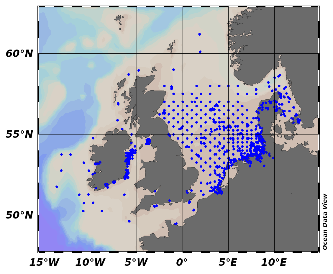
EMODnet Chemistry aims to provide access to marine chemistry data sets and derived data products concerning eutrophication, ocean acidification and contaminants. The chemicals chosen reflect importance to the Marine Strategy Framework Directive (MSFD). This regional aggregated dataset contains all unrestricted EMODnet Chemistry data on contaminants (59 parameters), and covers the North Sea with 34978 CDI records divided per matrices: 3909 biota time series, 28071 water profiles, 2998 sediment profiles. Vertical profiles temporal range is from 1970-02-17 to 2017-10-26. Time series temporal range is from 1979-02-26 to 2017-02-28. Data were aggregated and quality controlled by ‘Aarhus University, Department of Bioscience, Marine Ecology Roskilde from Denmark. Regional datasets concerning contaminants are automatically harvested. Parameter names in these datasets are based on P01, BODC Parameter Usage Vocabulary, which is available at: http://seadatanet.maris2.nl/bandit/browse_step.php . Each measurement value has a quality flag indicator. The resulting data collections for each Sea Basin are harmonised, and the collections are quality controlled by EMODnet Chemistry Regional Leaders using ODV Software and following a common methodology for all Sea Regions. Harmonisation means that: (1) unit conversion is carried out to express contaminant concentrations with a limited set of measurement units (according to EU directives 2013/39/UE; Comm. Dec. EU 2017/848) and (2) merging of variables described by different “local names” ,but corresponding exactly to the same concepts in BODC P01 vocabulary. The harmonised dataset can be downloaded as ODV spreadsheet (TXT file), which is composed of metadata header followed by tab separated values. This worksheet can be imported to ODV Software for visualisation (More information can be found at: https://www.seadatanet.org/Software/ODV ). The same dataset is offered also as XLSX file in a long/vertical format, in which each P01 measurement is a record line. Additionally, there are a series of columns that split P01 terms in subcomponents (measure, substance, CAS number, matrix...).This transposed format is more adapted to worksheet applications users (e.g. LibreOffice Calc). The 59 parameter names in this metadata record are based on P02, SeaDataNet Parameter Discovery Vocabulary, which is available at: http://seadatanet.maris2.nl/v_bodc_vocab_v2/vocab_relations.asp?lib=P02 . Detailed documentation will be published soon. The original datasets can be searched and downloaded from EMODnet Chemistry Download Service: https://emodnet-chemistry.maris.nl/search
-
This dataset assembles historical information existing in public and private documentary archives. Taken together, these data contribute to the building of a knowledge base of the historical presence, extent and biogenic formations of European flat oyster ecosystems prior to and during the intensification of bottom fishing activities. To identify and recover such information requires significant resources and expertise. The establishment of a Historical Ecology Working Group under the umbrella of the Native Oyster Restoration Alliance in early 2020 presented a unique opportunity to coalesce interdisciplinary expertise and resources from multiple European countries to collate and interrogate historical data sources. To date, this is the only known dataset that evidences the past distribution, extent and characteristics of this seabed ecosystem across its full biogeographic range. The described datasets present qualitative and quantitative extracts from written records published between 1524-2022, which show: (1) estimated locations of past oyster fisheries and/or reef habitat across its full biogeographical range, with associated levels of confidence; (2) recorded extent of past reef habitats, and; (3) species associated with these habitats. This comprehensive historical analysis demonstrates that oyster reefs were once a dominant three-dimensional feature along much of the European coastline and some shallow shelf seas.
-
Satellite-tracking data of 44 loggerhead sea turtles tracked from western Mediterranean between 2016-2018. Dataset includes tracking data of different life-stages: i) 17 one-year-aged post-hatchlings of loggerhead sea turtle came from nests laid on the Mediterranean Spanish coast; ii) 4 loggerhead nesting females collected from nesting events occurred on the Spanish Mediterranean coast; iii) 21 juvenile and 2 adult loggerhead sea turtles from fisheries bycatch. Our dataset consist in a CSV file-format which provides the turtle identity name or number, the date and coordinates of the location data, and the Argos location class associated. A metadata spreadsheet file is also provided with other relevant information. Our data contribute to the knowledge about the spatial use of the loggerhead sea turtle in the Mediterranean Sea and could be used in further analysis regarding habitat use and dispersal of this species in the Mediterranean basin. This submission is related to the data article: . Abalo-Morla, E.J. Belda, J. Tomás, J.L. Crespo-Picazo, A. Marco, O, Revuelta, 2022. Satellite-tracking dataset of loggerhead sea turtles from western Mediterranean. Data in Brief, In Press.
-
Densities data measured from abundances of inventoried species on the hydrothermal edifice Eiffel Tower (Lucky Strike vent field, Mid-Atlantic Ridge), during Exomar (2005), Momareto (2006) cruises. Seventeen sampling units were selected to represent variate mussel assemblages on the edifice. Details on the sampling method and biodiversity analysis are published in Sarrazin et al. 2015 (https://doi.org/10.1016/j.dsr2.2015.04.013) and Husson et al. 2017 (https://doi.org/10.1016/j.dsr2.2016.05.028)
-
This dataset shows the general distribution of Megrim nursery grounds in Irish coastal waters, including the Celtic Sea and Irish Sea. Marine nursery areas are habitats that promote the survival of young commercially important fish species.
-
This dataset shows the general distribution of Megrim spawning grounds in Irish coastal waters, including the Celtic Sea and Irish Sea. Marine nursery areas are habitats that promote the survival of young commercially important fish species.
-
This dataset shows the general distribution of Whiting nursery grounds in Irish coastal waters, including the Celtic Sea and Irish Sea. Marine nursery areas are habitats that promote the survival of young commercially important fish species.
-
This dataset shows the general distribution of Hake spawning grounds in Irish coastal waters, including the Celtic Sea and Irish Sea. Marine nursery areas are habitats that promote the survival of young commercially important fish species.
 EMODnet Product Catalogue