 EMODnet Product Catalogue
2017
Type of resources
Available actions
Topics
Keywords
Contact for the resource
Provided by
Years
Formats
Representation types
Update frequencies
status
Scale 1:
Resolution
-
This dataset contains current data acquired between September 2016 and July 2017 using 2 TCM3 Ocean Bottom Tilt Current Meters installed next to the Tour Eiffel and Montségur hydrothermal vent sites. The TCM-3 Ocean Bottom Tilt Current Meter from Lowell Instruments LLC (North Falmouth, MA, USA) measures current using the drag-tilt principle. The logger is buoyant and is anchored to the bottom via a short flexible tether. Drag from moving water tilts the logger in the direction of flow. The logger’s accelerometer and magnetometer channels are used to record the amount of tilt and direction of tilt (compass bearing). The array comprised 3 currentmeters, deployed near the Tour Eiffel, Montségur and White Castle hydrothermal vent sites (the instrument at White Castle did not recover data). The array is not connected to an energy node. The currentmeter's internal clocks are set to UTC time before deployment. Clock drift after recovery is not implemented in data but added as metadata in the file "Sites and Sensor metadata". Important Note: This submission has been initially submitted to SEA scieNtific Open data Edition (SEANOE) publication service and received the recorded DOI. The metadata elements have been further processed (refined) in EMODnet Ingestion Service in order to conform with the Data Submission Service specifications.
-
Arctic Western Eurasian Basin: IAOOS 23 and IAOOS 24 ocean CTD-DO, CDOM and nitrate profiles in 2017
The two platforms IAOOS 23 and IAOOS 24 were deployed within 600 m from each other at the North Pole from the Russia-operated Barneo ice camp on April 12, 2017. They followed a meandering trajectory, reaching as far as 30°E in the Nansen Basin, before turning back to the western Fram Strait. On both IAOOS 23 and 24, the ocean profiler was a PROVOR SPI (from French manufacturer NKE) equipped with a Seabird SBE41 CTD (Conductivity, Temperature, Depth) and a dissolved oxygen (DO) Aandera 4330 optode. For the first time, the profiler on IAOOS 23 also carried biogeochemical sensors. It featured a bio-optics sensor suite and a submersible ultraviolet nitrate analyzer (SUNA, Satlantic-Seabird Inc.). The bio-optics sensor suite (called Pack Rem A) combines a three-optical-sensor instrument (ECO Triplet, WET Labs Inc.) and a multispectral radiometer (OCR-504, Satlantic Inc.). The present dataset is composed of CTD-DO data from IAOOS 23 and 24, corrected from the thermal lag and the sensor lag, despiked and interpolated vertically every 0.5 m. It also comprises nitrate concentrations from the SUNA and CDOM fluorescence from the WETLabs ECO sensor on IAOOS 23. Other biogeochemical data will be added to this dataset. The profilers were set to perform two upward profiles a day from 250 m (IAOOS 23) and 350 m (IAOOS 24) upward starting at approximately 6 am and 6 pm. They provided a unique 8-month long dataset, gathering a total of 793 profiles of the temperature, salinity and oxygen (upper 350m) and 427 profiles of CDOM and nitrates concentrations (upper 250m). Important Note: This submission has been initially submitted to SEA scieNtific Open data Edition (SEANOE) publication service and received the recorded DOI. The metadata elements have been further processed (refined) in EMODnet Ingestion Service in order to conform with the Data Submission Service specifications.
-
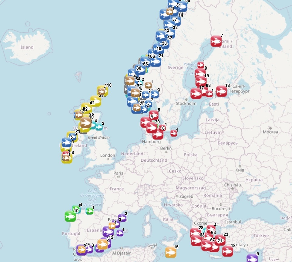
The dataset on marine finfish aquaculture in the EU was created in 2017 by AND-International for the European Marine Observation and Data Network (EMODnet). The dataset provides information about the location of marine finfish farms in the EU and partner countries where data are available. There is an obligation for EU MS to inventory all authorized aquaculture sites under the Council Directive 2006/88/EC on animal health requirements. Despite this obligation, the availability of data varies among MS from no data available at all to a complete regularly updated dataset. As far as partner countries are concerned, data have been collected only in Norway and the UK (Scotland only), where detailed data are provided online. Data provided here cover Cyprus, Denmark, Estonia, Finland, Greece, Ireland, Malta, Norway, Spain and the United Kingdom (Scotland only). Data collection is still undergoing in other EU MS and neighbouring countries. Each point has the following attributes (where available): Country, Owner name, Status (Active, n.a.), Farm type (Salmonids, Flatfish, Seabass-seabream and other coastal fish, Tuna, Other, n.a.), Production method (Sea cages, Saltwater tanks/raceways, Saltwater ponds, Saltwater closed (recirculation), Quarantine, Other, n.a.), Production stage (Grow out for human consumption, Hatchery, Nursery, Broodstock, Reproduction, Restoration of wild stock, Put and take fisheries, Processing facility, Slaughtering facility, Research facility, Sea ranching, Other, n.a.), Purpose (Commercial, Display, Education, Research, Capture-based aquaculture, Fishing park, Other, n.a.), Species_source (detailed information on species names as presented in the source and translated to English), Point information (Polygon centroid, Original) depending on how the information is provided in the source (polygons or points), Site_ID, the distance to coast (in meters), the position from Coastline (At sea or Within the coastline), the ID from the source to facilitate traceability, and the year the data was updated in the source. The farm type relies on a typology established by AND-International, based on available information on species grown. A relational table provides harmonised information about species grown using Eurostat nomenclature for the Species Group, the species name (commercial and scientific) and the Eurostat code (ALPHA-3 code for species). The data has been updated for all countries available and additional fields were added to improve traceability (ID from source and Year updated in the source). Data from Spain are available for viewing but not for download. Data from other countries are available for viewing and download.
-
In April 2017, two Ice Atmosphere Arctic Ocean Observing System platforms (IAOOS 23 and IAOOS 24) were deployed near the North Pole. Over the next 8 months, they meandered southwards with the ice in the Transpolar Drift, collecting measurements in the upper 250 m of Amundsen Basin, Nansen Basin and Fram Strait. The ocean profilers are PROVOR SPI (from French manufacturer NKE), which includes a Seabird SBE41 CTD (Conductivity, Temperature, Depth) and a dissolved oxygen (DO) Aandera 4330 optode. IAOOS 23 also featured a bio-optics sensor suite and a submersible ultraviolet nitrate analyzer (SUNA, Satlantic-Seabird Inc.). The bio-optics sensor suite (called Pack Rem A) combines a three-optical-sensor instrument (ECO Triplet, WET Labs Inc.) and a multispectral radiometer (OCR-504, Satlantic Inc.). The present dataset is composed of chlorophyll-a fluorescence, backscatter, irradiances (at 412, 490 and 555 nm), photosynthetically active radiation (PAR), nitrate and colored-dissolved organic matter data from the IAOOS 23 platform, as well as composites of absolute salinity, conservative temperature and apparent oxygen utilization data from both profilers. The profilers were set to perform two upward profiles a day from 250 m starting at approximately 6 am and 6 pm. In this dataset, chlorophyll-a, PAR and irradiances were corrected with a shift to set dark values to zero. Nitrate was interpolated vertically every 5 m, and all other parameters were interpolated vertically every 0.5 m. Important Note: This submission has been initially submitted to SEA scieNtific Open data Edition (SEANOE) publication service and received the recorded DOI. The metadata elements have been further processed (refined) in EMODnet Ingestion Service in order to conform with the Data Submission Service specifications.
-
The current dataset contains data on 63 Hz and 125 Hz 1/3 octaves of continuous underwater noise (Descriptor D11.2) recorded on four different locations in two periods (during off tourist season) of December-2018
-
Inorganic carbon and alkalinity from Brazilian cruises in the Western Tropical Atlantic Important Note: This submission has been initially submitted to SEA scieNtific Open data Edition (SEANOE) publication service and received the recorded DOI. The metadata elements have been further processed (refined) in EMODnet Ingestion Service in order to conform with the Data Submission Service specifications.
-
Surface inorganic carbon and alkalinity in the Gulf of Maranhao from 2013 to 2014 as part of the IRD (France)-FAPEMA (Brazil) project BIOAMAZON. Important Note: This submission has been initially submitted to SEA scieNtific Open data Edition (SEANOE) publication service and received the recorded DOI. The metadata elements have been further processed (refined) in EMODnet Ingestion Service in order to conform with the Data Submission Service specifications.
-
Inorganic carbon and alkalinity measurements (in micromoles/kg) along the coast of Brazil, 2013-2015. Important Note: This submission has been initially submitted to SEA scieNtific Open data Edition (SEANOE) publication service and received the recorded DOI. The metadata elements have been further processed (refined) in EMODnet Ingestion Service in order to conform with the Data Submission Service specifications.
-
Coastal sea levels have been monitored for decades by networks of tide gauges in Bulgarian ports and harbors, established by a diverse range of organizations to fulfill their specific needs and requirements.Now the sea level stations are equipped with radar sensors.
-
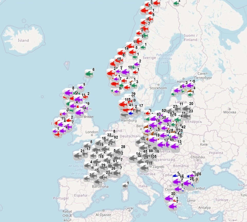
The dataset on freshwater aquaculture in the European countries was created in 2017 by AND-International for the European Marine Observation and Data Network (EMODnet). The dataset provides information about the location of freshwater finfish farms in the EU and partner countries where data are available. It is available for viewing and download on EMODnet web portal (Human Activities, https://emodnet.ec.europa.eu/en/human-activities). For EU MSs, it relies mainly on data collected under the Regulation (EU) 2016/429 (the ‘Animal Health Law’). As far as partner countries are concerned, data have been collected in Norway and in the UK (Scotland only), where detailed data are provided online. Data provided here cover Austria, Belgium, Bulgaria, Czechia, Denmark, Estonia, France, Greece, Ireland, Lithuania, Norway, Poland, Slovenia, Spain, and the UK (Scotland only). Each point has the following attributes (where available): status (Active, Expired, Inactive, Renewal), country, owner name, farm type (Carp, Diversified pond fish, Eel, Other diversified, Other specialised, Salmonids, Sturgeon, Trout), production method (Closed systems - recirculation, Ponds, Tanks/Raceways, Cages/Enclosures/Pens, Quarantine facility, Research facility, Other), production stage (Grow out for human consumption, Hatchery, Nursery, Brood stock, Put and take fisheries, Restoration of wild stock, Processing facility, Other), purpose (Commercial, Restocking, Other), Species from Source (English translation of the information provided on species grown in the source), point information (Polygon centroid, Original) depending on how the information is provided in the source (polygons or points), site_id and source_id (id from the source where available). The farm type relies on a typology established by AND-International, based on available information on species grown. A relational table provides harmonised information about species grown using Eurostat nomenclature for the Species Group (Carps, barbels and other cyprinids; Miscellaneous freshwater fishes; River eels; Salmons, trouts, smelts; Sturgeons, paddlefishes; Tilapias and other cichlids), the species name (commercial and scientific) and the code. Data have been updated for Austria, Czechia, Denmark, Estonia, Ireland, Lithuania, Norway, Poland, Slovenia, and the United Kingdom. Data from Spain have been added.