 EMODnet Product Catalogue
2020
Type of resources
Available actions
Topics
Keywords
Contact for the resource
Provided by
Years
Formats
Representation types
status
Service types
Scale 1:
Resolution
-
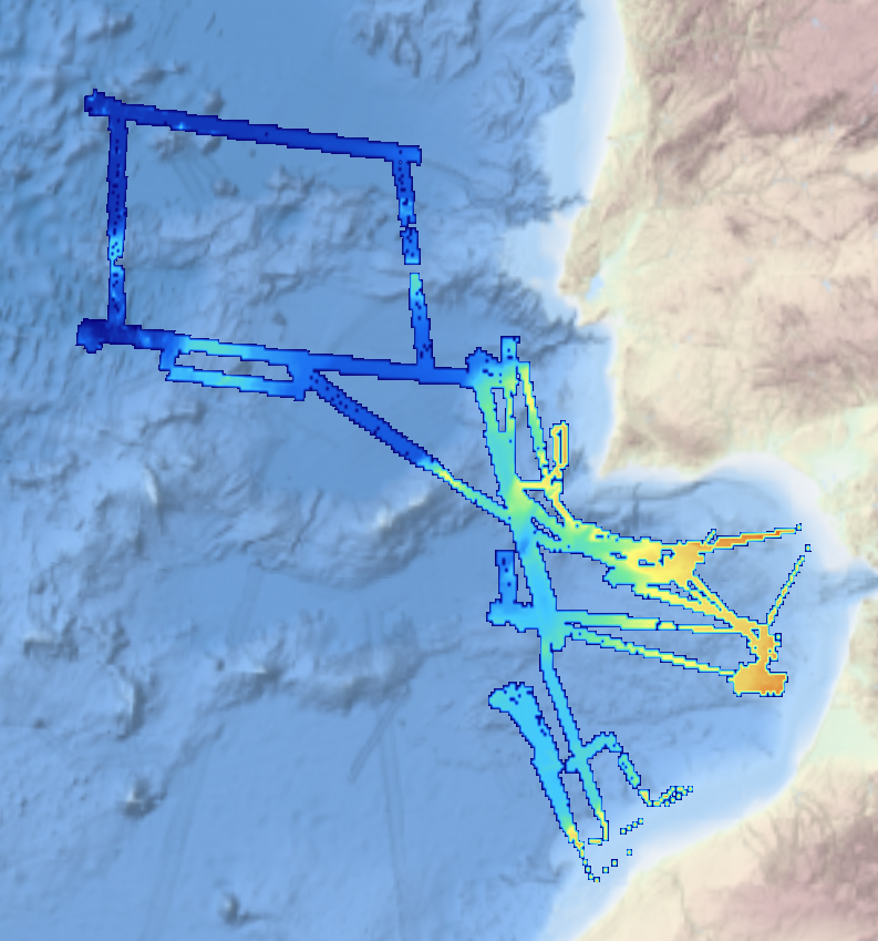
The data have been acquired with a SeaBat RESON 8125 (455kHz) e Seabat RESON 8160 (50 kHz) multibeam echosounders mounted on board of the research vessel "Universitatis" (chief scientist F.L. Chiocci; party chief F. Falese). The main objective of this cruise was the search of relict sand deposits potentially exploitable for beach nourishment on these continental shelves. Weather conditions were good during the acquisition.
-
The data have been acquired with a SeaBat RESON 7125 (frequency 450kHz and depth up to 150 m) multibeam echosounder mounted on board of the research vessel "Minerva 1" (party chief F. G. Falese) between 27 september and 5 october 2016. The main objective of this cruise was the search of relict sand deposits potentially exploitable for beach nourishment on these continental shelves. Weather and marine conditions were fair during the acquisition.
-
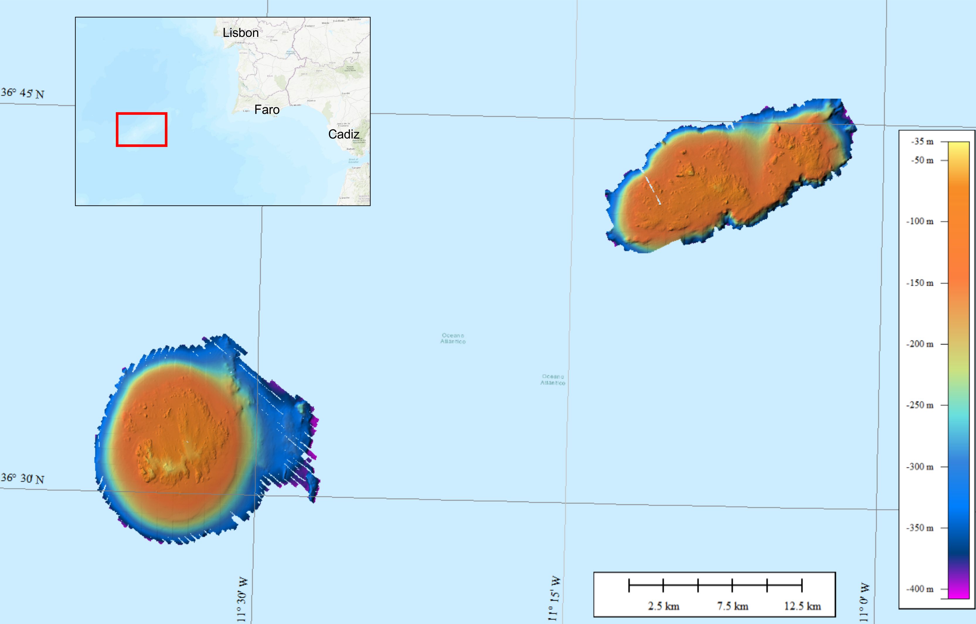
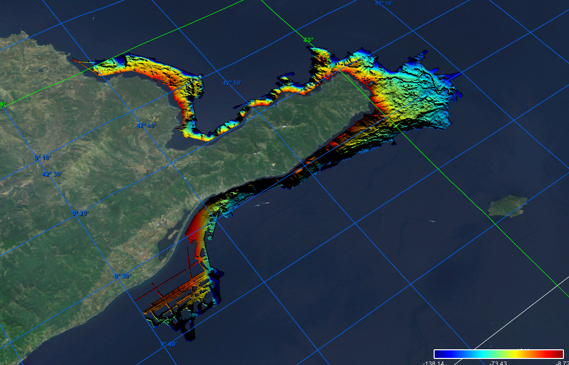
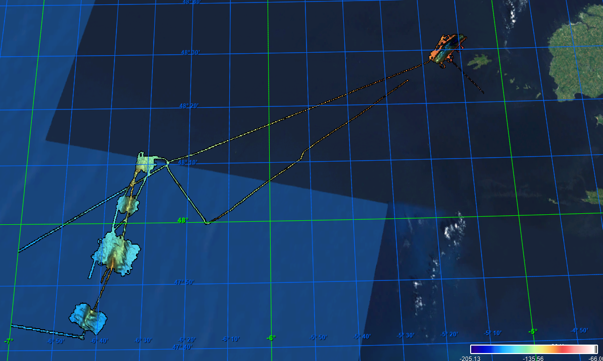
This composite Digital Terrain Model (cDTM) is a high resolution bathymetry dataset that covers bathymetry surveys INSIGHT_LEG1, FRAME-OBS, FRAME-MCS and INSIGHT_LEG2 . Multibeam data acquired in 2018 and 2019 on board the R/V Sarmiento de Gamboa using an Atlas Hydrosweep DS-3 multi-beam echosounder.
-
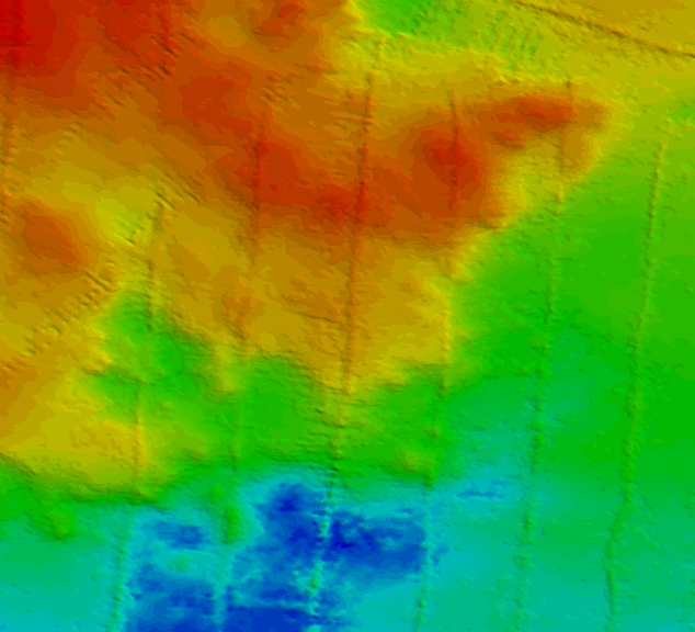
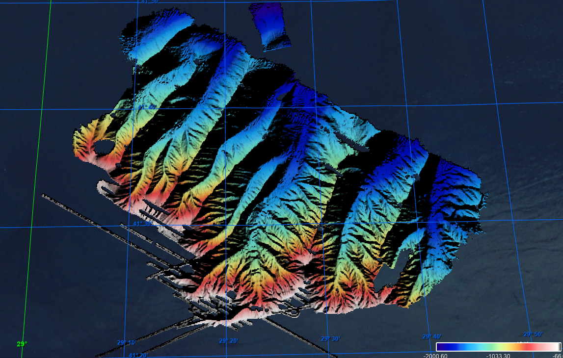
Bathymetric data were collected on the Gorringe Bank, located along the Europe-Africa obliquely convergent plate boundary offshore SW Portugal. The high-resolution swath bathymetry dataset allowed the investigation of the shallow-depth structure of the Horseshoe Seamounts. Data were collected by means of the MBES system Reson SeaBat8101. The MBES was hull-mounted on a 60 meters long vessel. The MBES has 101 beams 1,5° x 1,5°; the operational frequency was 240 kHz. A LandStar 12 channel DGPS system was used for ship positioning and a motion sensor TSS-DMS02-05 was used to provide corrections for attitude data. A Sound Velocity Sensor was installed near the transducers thus providing realtime sound speed for beam steering. A sound velocity profiler Reson SVP20 was lowered through the water column every 6–8 h to get the velocity profile required for the depth computation. The bathymetric data were processed using the PDS2000 software. Data de-spiking was carried out without the application of automatic filters in order to preserve data accuracy and resolution.
-
Grid processed for the purpose of the HR DTMs layer of EMODnet Bathymetry HRSM, October 2020
-

Grid processed for the purpose of the HR DTMs layer of EMODnet Bathymetry HRSM project, October 2020
-
Grid processed in the framework of EMODnet Bathymetry HRSM, October 2020
-
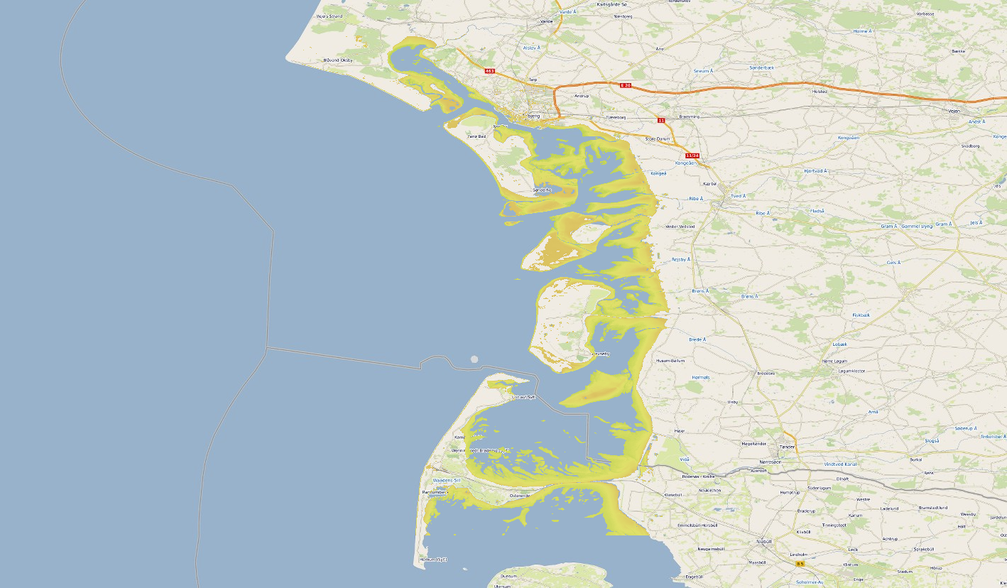
Satellite-derived intertidal bathymetry for the Danish Wadden on the West coast of Denmark
-
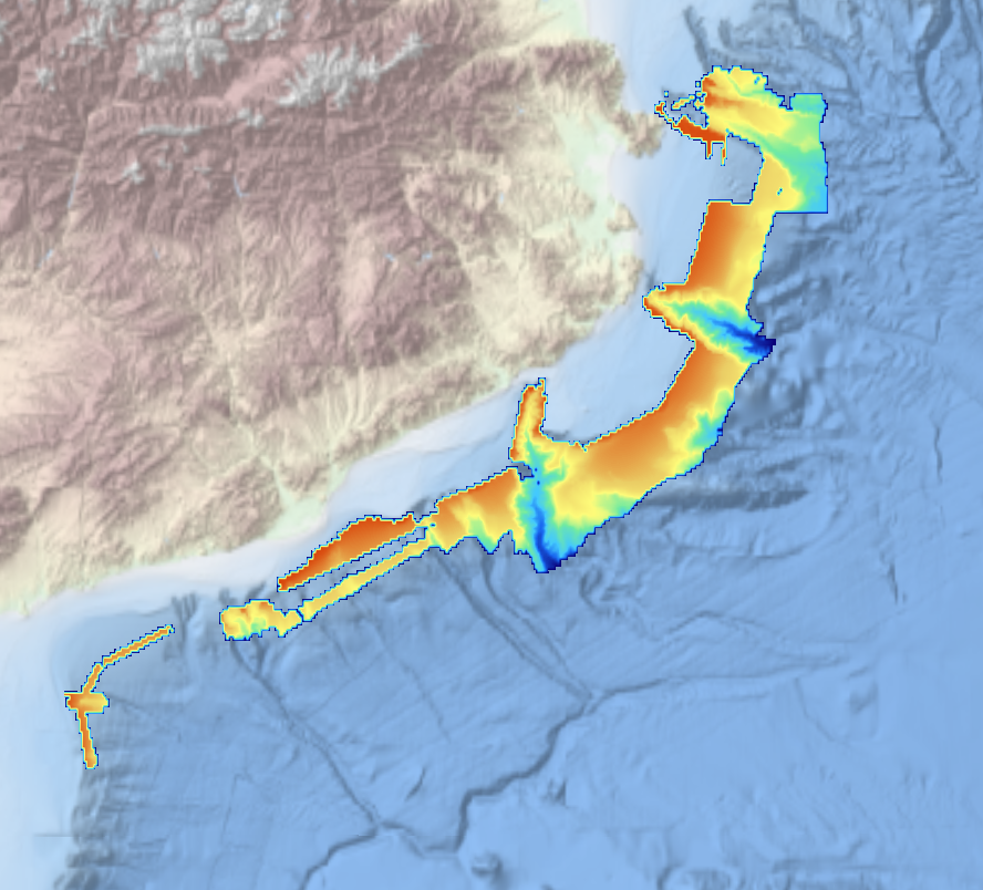
This composite Digital Terrain Model (cDTM) is a high resolution bathymetry dataset that covers bathymetry surveys INDEMARES-2, ABIDES-2, ABIDES-3, ABIDES-ROV and ABIDES-5 . Multibeam data acquired in 2010, 2017 and 2018 on board the R/V Garcia del Cid using a Elac Seabeam 1050D echosounder and in 2017 on board the Sarmiento de Gamboa using an Atlas Hydrosweep DS-3 multi-beam echosounder.
-
Grid processed for the purpose of the HR DTMs layer of EMODnet Bathymetry HRSM, October 2020