AND International
Type of resources
Topics
Keywords
Contact for the resource
Provided by
Years
Formats
-

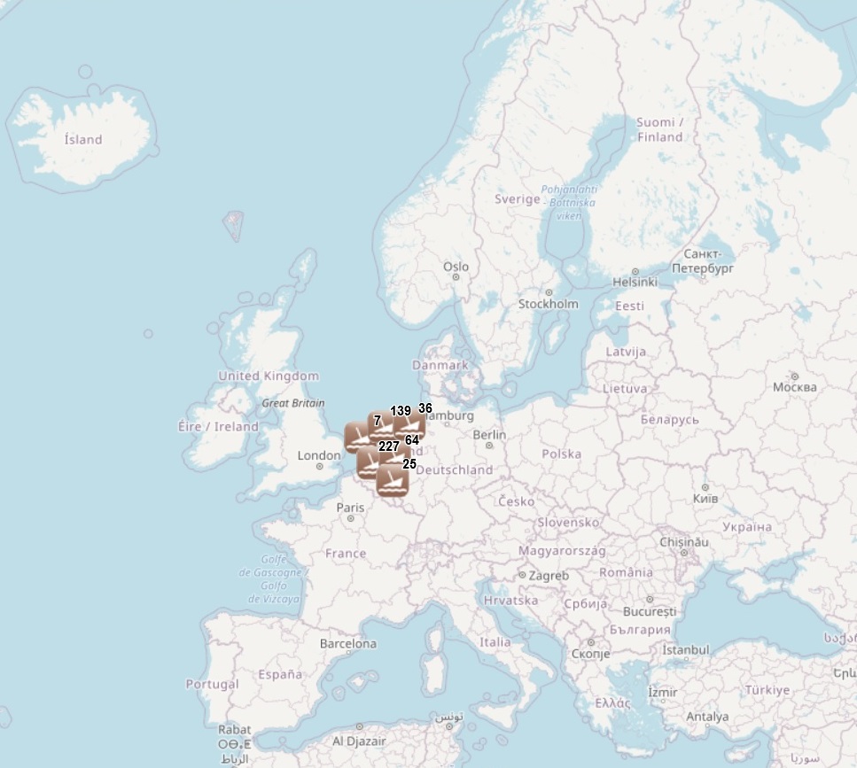
The dataset has been developped under the MACHU EU project, involving seven EU MS (BE, DE, NL, PL, PT, UK, SE). The MACHU GIS database provides information about wrecks, sites and objects underwater. MACHU is an applications on Underwater Cultural Heritage providing historic and archaeological information. MACHU is not intended to give exact positions of wrecks an site, in the aim of ensuring their protection.
-

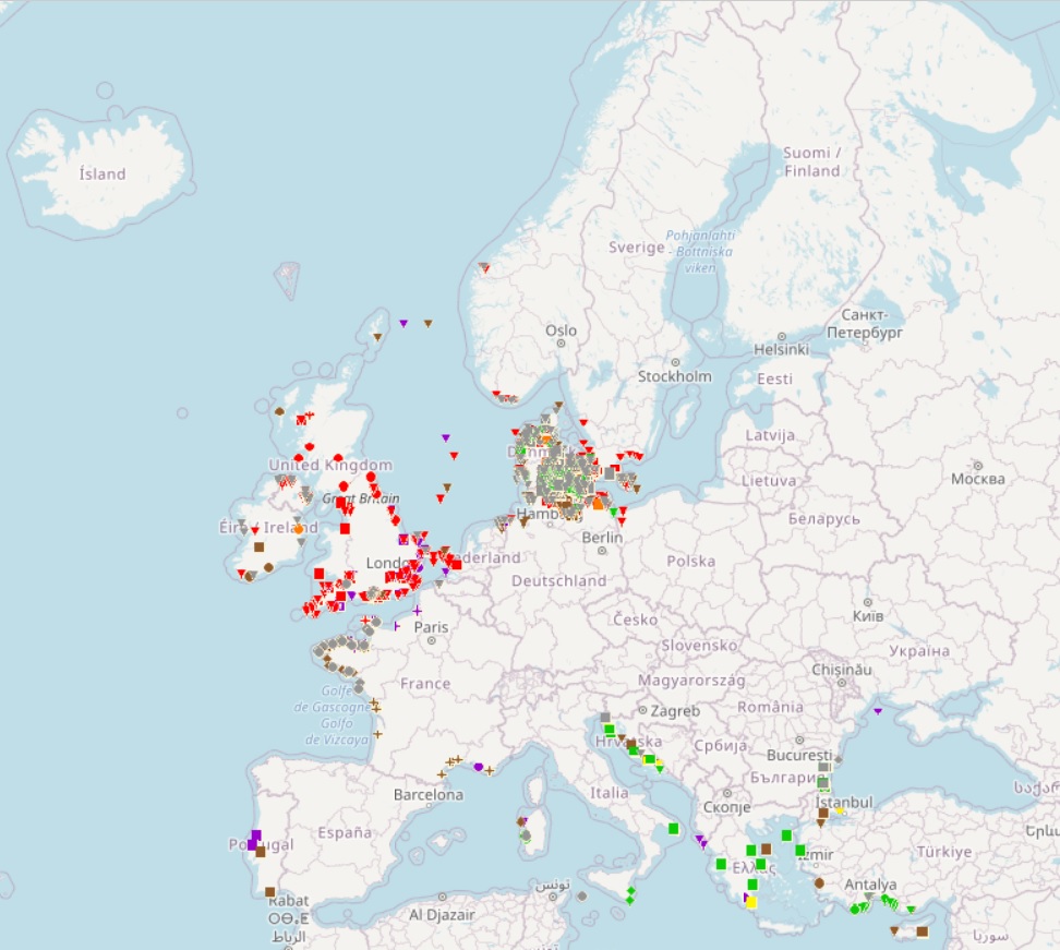
The dataset has been developped under the SPLASHCOS EU project, involving 20 EU Member States plus Norway, Russia, Ukraine and Switzerland. SPLASHCOS - Submerged Prehistoric Archaeology and Landscapes of the Continental Shelf - is a four-year research network (2009 to 2013) funded by the European Commission under its COST program (Cooperation in Science and Technology) as COST Action TD0902. Its aim is to bring together archaeologists, marine geoscientists, heritage agencies, and commercial and industrial organizations interested in researching, managing and preserving the archives of archaeological and palaeoclimatic information locked up on the drowned prehistoric landscapes of the European continental shelf, and to disseminate that knowledge to a wider audience.
 EMODnet Product Catalogue