 EMODnet Product Catalogue
Skagerrak
Type of resources
Available actions
Topics
Keywords
Contact for the resource
Provided by
Years
Representation types
-

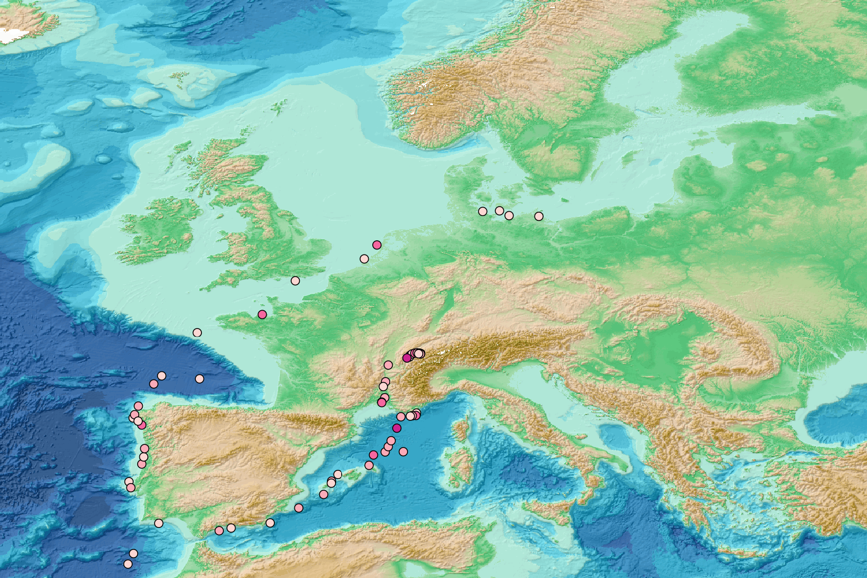
This visualization product displays the density of floating micro-litter per net normalized per km² per year from specific protocols different from research and monitoring protocols. EMODnet Chemistry included the collection of marine litter in its 3rd phase. Before 2021, there was no coordinated effort at the regional or European scale for micro-litter. Given this situation, EMODnet Chemistry proposed to adopt the data gathering and data management approach as generally applied for marine data, i.e., populating metadata and data in the CDI Data Discovery and Access service using dedicated SeaDataNet data transport formats. EMODnet Chemistry is currently the official EU collector of micro-litter data from Marine Strategy Framework Directive (MSFD) National Monitoring activities (descriptor 10). A series of specific standard vocabularies or standard terms related to micro-litter have been added to SeaDataNet NVS (NERC Vocabulary Server) Common Vocabularies to describe the micro-litter. European micro-litter data are collected by the National Oceanographic Data Centres (NODCs). Micro-litter map products are generated from NODCs data after a test of the aggregated collection including data and data format checks and data harmonization. A filter is applied to represent only micro-litter sampled according to a very specific protocol such as the Volvo Ocean Race (VOR) or Oceaneye. Densities were calculated for each net using the following calculation: Density (number of particles per km²) = Micro-litter count / (Sampling effort (km) * Net opening (cm) * 0.00001) When the number of microlitters or the net opening was not filled, it was not possible to calculate the density. Percentiles 50, 75, 95 & 99 have been calculated taking into account data for all years. Warning: the absence of data on the map does no't necessarily mean that they do not exist, but that no information has been entered in the National Oceanographic Data Centre (NODC) for this area.
-
Seal pathology from dead seals around the Swedish coast 2017-2022
-
The purpose of measuring jelly plankton in the marine environment is primarily to detect changes in the marine food web. The national monitoring program is financed by the Swedish Agency for Marine and Water Management. Monitoring is performed by Gothenburg University. Data are stored in the Swedish Ocean Archive (SHARK) by the Swedish Meteorological and Hydrological Institute (SMHI). Information about the program and the methods are available in Swedish at the website of Swedish Agency for Marine and Water Management, https://www.havochvatten.se/vagledning-foreskrifter-och-lagar/vagledningar/ovriga-vagledningar/overvakningsmanualer-for-miljoovervakning/overvakningsmanualer/geleplankton.html
-
The national monitoring program is financed by the Swedish Agency for Marine and Water Management. Monitoring is performed by the Swedish Museum of Natural History. Data are stored in the Swedish Ocean Archive (SHARK) by the Swedish Meteorological and Hydrological Institute (SMHI). Information about the program and the methods are available in Swedish at the website of Swedish Agency for Marine and Water Management, https://www.havochvatten.se/overvakning-och-uppfoljning/miljoovervakning/marin-miljoovervakning/tumlare.html
-
The dataset entails the maritime spatial plan of Denmark that was adopted on September 29 2023.
-
This work was carried out for the Danish Environment Protection Agency (EPA) targeting microplastics (MP) in Danish marine sediments. It addresses the geographical distribution of MP in sediments from 23 stations, among which, 19 were analysed in 2022 (https://www.emodnet-ingestion.eu/submissions/submissions_details.php?menu=39&tpd=1185&step=001Denmark), and four were analysed in 2023. One of these four samples were collected from Skagerrak, and three were from the North Sea. It attempts to map the level and geographical distribution of MP in sediments from the North Sea and Skagerrak. The monitoring should furthermore create a baseline for future efforts to assess temporal changes of MP in Danish marine sediments.
-
This visualization product displays the density of floating micro-litter per net normalized per km² per year from specific protocols different from research and monitoring protocols. EMODnet Chemistry included the collection of marine litter in its 3rd phase. Before 2021, there was no coordinated effort at the regional or European scale for micro-litter. Given this situation, EMODnet Chemistry proposed to adopt the data gathering and data management approach as generally applied for marine data, i.e., populating metadata and data in the CDI Data Discovery and Access service using dedicated SeaDataNet data transport formats. EMODnet Chemistry is currently the official EU collector of micro-litter data from Marine Strategy Framework Directive (MSFD) National Monitoring activities (descriptor 10). A series of specific standard vocabularies or standard terms related to micro-litter have been added to SeaDataNet NVS (NERC Vocabulary Server) Common Vocabularies to describe the micro-litter. European micro-litter data are collected by the National Oceanographic Data Centres (NODCs). Micro-litter map products are generated from NODCs data after a test of the aggregated collection including data and data format checks and data harmonization. A filter is applied to represent only micro-litter sampled according to a very specific protocol such as the Volvo Ocean Race (VOR) or Oceaneye. Densities were calculated for each net using the following calculation: Density (number of particles per km²) = Micro-litter count / (Sampling effort (km) * Net opening (cm) * 0.00001) When the number of microlitters or the net opening was not filled, the density could not be calculated. Percentiles 50, 75, 95 & 99 have been calculated taking into account data for all years. Warning: the absence of data on the map doesn't necessarily mean that they don't exist, but that no information has been entered in the National Oceanographic Data Centre (NODC) for this area.
-
An intensive study at a mussel farm at Tångesund 2016-2017. Here, the connection between the stratification of the water mass, currents, the presence of harmful algae and the presence of algal toxins in mussels will be investigated. A coastal buoy was placed next to the mussel farm with sensors for temperature, salt and oxygen at five different depths. At the surface there was also be a sensor for chlorophyll and turbidity.
-
Data consists of three coastal stations close to the Gullmar fjord in the Skagerrak. Samling was done during 2018.
-
Samples for phytoplankton analyses are collected by employees responsible for farming at musselfarms/aquaculture to monitor the presence and abundance of toxin-producing phytoplankton. These samples are submitted to SMHI on a bi-weekly basis from mussel farms/aquaculture in coastal areas off the west coast of Sweden. On each sampling occasion two samples from plankton net trawls are pooled in addition to a sample collected with a cylindrical water sampler for integrated sampling 0-10 m. The main attributes are phytoplankton (specifically phycotoxin producing) species composition, biovolumes and abundance. The sampling and data is important for monitoring potential health risks for consumers from biotoxins in the musselfarm/aquaculture processes.