 EMODnet Product Catalogue
GeoTIFF
Type of resources
Available actions
Topics
Keywords
Contact for the resource
Provided by
Years
Representation types
status
-
-

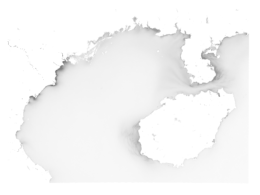
A map of submarine landslide susceptibility in European seas. High susceptibility values indicate a high probability of landslides. This map cannot be compared to the accuracy of studies based on detailed investigations, but provides an overall view on the distribution of landslides susceptibility. The map indicates the probability that landslides may occur in that portion of the seafloor over time, but does not measure when or how frequently an event may occur, nor its possible size. For more details refer to: “Submarine landslides: mapping the susceptibility in European seas”, C. Innocenti, L. Battaglini, S. D'Angelo and A. Fiorentino, Quarterly Journal of Engineering Geology and Hydrogeology, 54, qjegh2020-027, 23 October 2020, https://doi.org/10.1144/qjegh2020-027