building
Type of resources
Available actions
Topics
Keywords
Contact for the resource
Provided by
Years
Formats
Representation types
Scale 1:
-

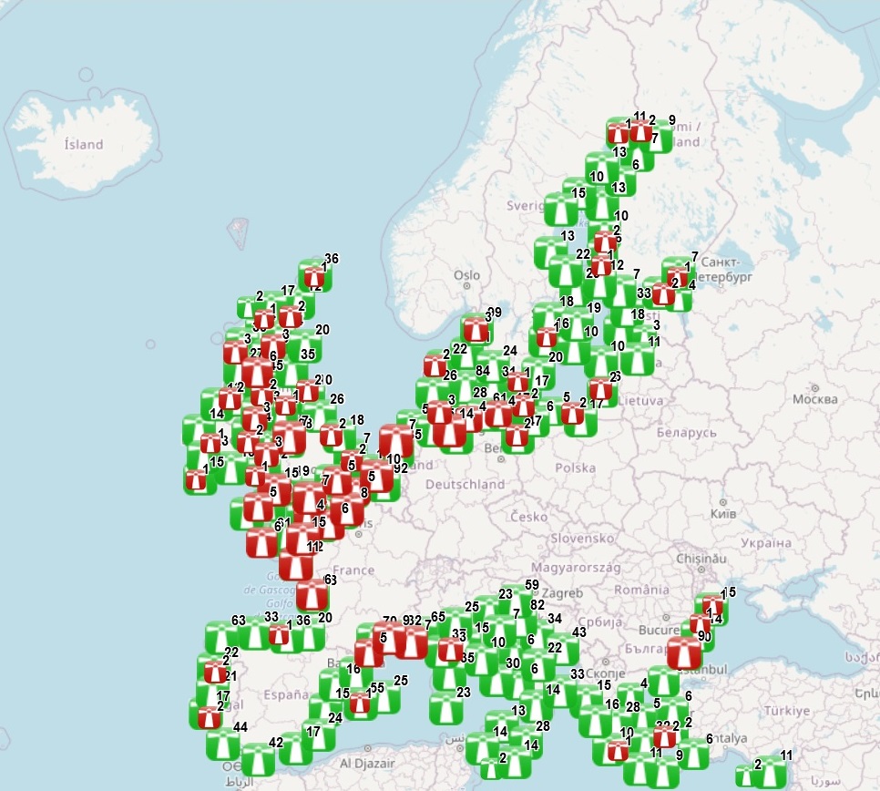
This dataset provides the location of lighthouses inventoried by the Amateur Radio Lighthouse Society (ARLS). It includes both existing lighthouses and historical ones that have been removed, relocated or destroyed (column Status). The dataset includes the name of the lighthouse, its code in the ARLSH database, the status, the distance to coast, whether it is located at sea or within the coastline and some comments when the ARLSH information has been edited based on information from other sources. Coordinates are approximate for most of the lighthouses.It is updated every 2 years, and is available for viewing and download on the EMODnet web portal (Human Activities, https://emodnet.ec.europa.eu/en/human-activities). Re-use for commercial and non-commercial purpose requires written consent from the ARLHS.
-

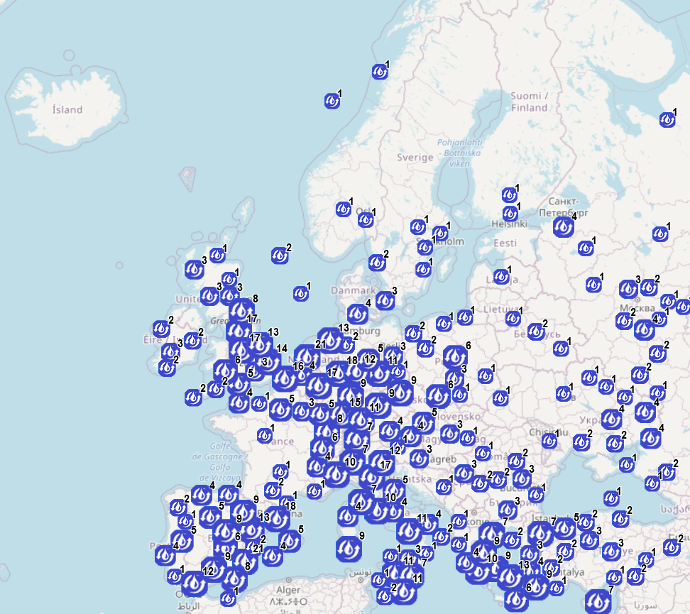
The database on Desalination plants in the EU was created in 2021 by Cogea srl for the European Marine Observation and Data Network (EMODnet). It is the result of the harmonization of a dataset provided by GWI DesalData. The dataset provides spatial information (point) on the centroid of the municipality where a given plant is located. It is available for viewing and download on EMODnet - Human Activities web portal (https://emodnet.ec.europa.eu/en/human-activities) and will be updated every year. The dataset covers the following countries: Albania, Austria, Belgium, Belarus, Bosnia and Herzegovina, Bulgaria, Croatia, Cyprus, Czech Republic, Denmark, Finland, France, Georgia, Germany, Gibraltar, Greece, Guernsey, Hungary, Ireland, Italy, Jersey, Latvia, Liechtenstein, Lithuania, Luxembourg, Malta, Moldova, Netherlands, Norway, Poland, Portugal, Romania, Russia, Serbia, Slovakia, Slovenia, Spain, Sweden, Switzerland, Turkey, UK, Ukraine. Where available, each point has the following attributes: site code (ID), Location Name, Country, Position Source, Commune Name, NUTS code (NUTS 3 ID), Latitude, Longitude. A relational table provides further information for each desalination plant where data are available: Location Type, Project, Capacity (m3/d), Size, Units, Unit Size (m3/d), Technology, Feedwater, Plant Type, Award Date, Online Date, Plant Status, Customer Type, Industry Type, Customer, Holding Company, Plant Owner. More plant-specific information is available in the original dataset.
 EMODnet Product Catalogue