 EMODnet Product Catalogue
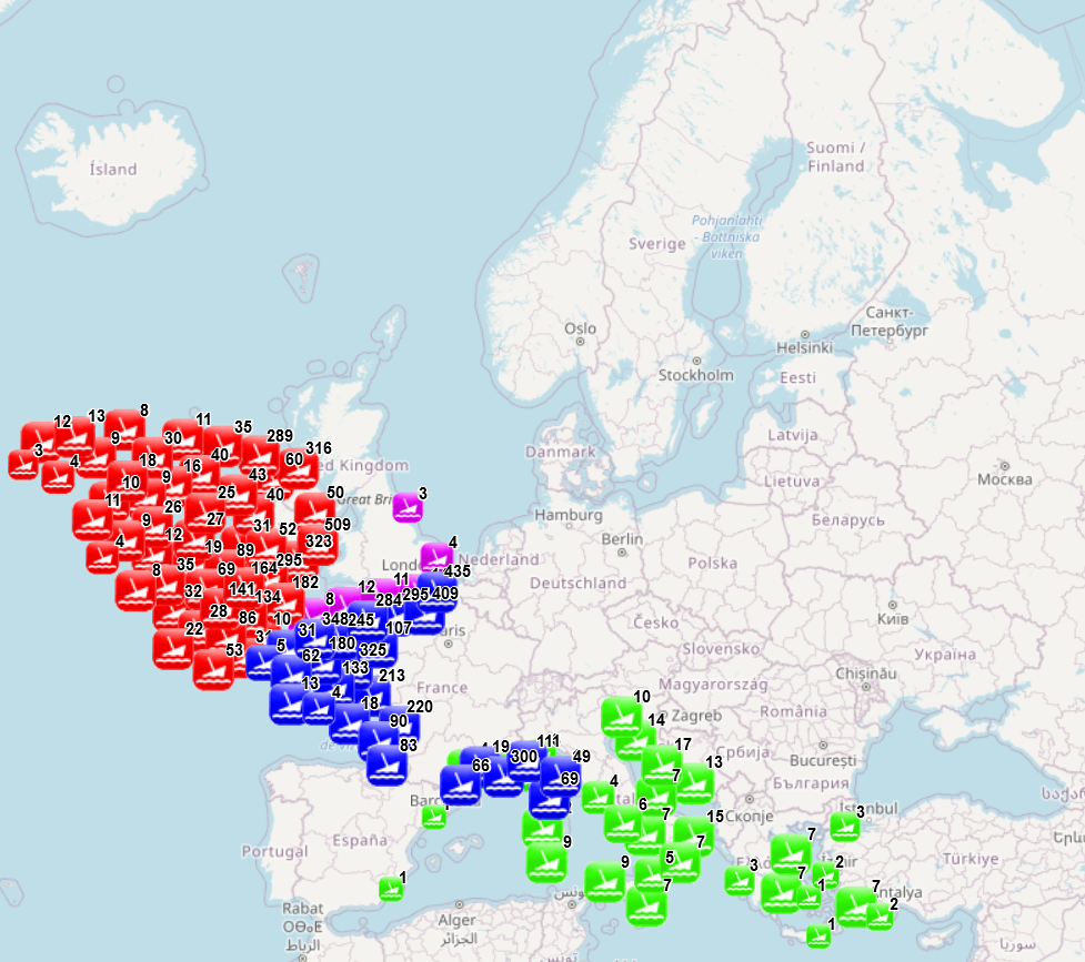
waste
Type of resources
Available actions
Topics
Keywords
Contact for the resource
Provided by
Years
Formats
Representation types
Scale 1:
Resolution
-
The dataset combines data collected from several sources: data collected and processed by the “Service hydrographique et océanographique de la marine” (SHOM) under the product “Wrecks and obstructions” for France (Hexagone and outermost regions and territories), The National Monument Service Wreck Viewer for Ireland, Historic England and the University of Oxford - The Oxford Roman Economy Project (Strauss, J. (2013). Shipwrecks Database. Version 1.0. Accessed (date): oxrep.classics.ox.ac.uk/databases/shipwrecks_database/) for archeological remains of ship wrecks in the Mediterranean. The different products were developed with different purposes and therefore provide information of different nature. The product developed by SHOM aims to identify objects emerging from the seabed and likely to hinder navigation, while the three other products focus on the historical value of the wrecks. The choice was made to keep as much information as possible. When possible fields from different sources have been merged (e.g. least depth available in SHOM data and the Oxford Roman Economy Project), but other fields correspond to a specific source. When available, information is provided on the nature of the objects (object description, ship characteristics, object type, artefacts, estimated tonnage), on the aging of the wrecks (sink year, dating, period), on the circumstances of the sinking (sink context, place of origine, place of destination), on the location (least depth, max depth, other depth information, object length, location precision, site area, coast distance), on the protection status (only for England) and on sources and additional information available (source information, references, website, website 2). The additional processing carried out by EMODnet consisted in translating the available information to English (through partly-automated translation), extracting the year of the sinking when available and calculating the distance to coast. Last update of the product by SHOM was made in November 2021, last update of the Historic England data was made in August 2021, update of the National Monument Service Wreck Viewer in Ireland was made I April 2018 and the Oxford Roman Economy Project was carried out in 2013.
-
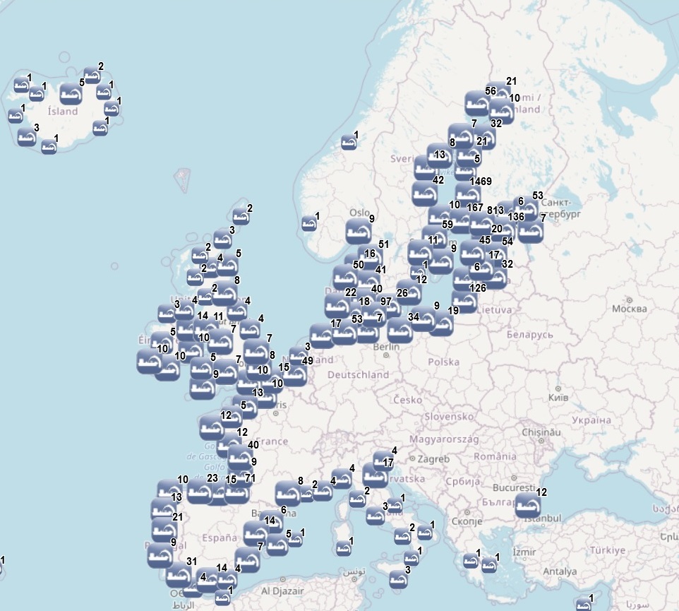
The dataset on dredging in the European waters was created in 2014 by AZTI for the European Marine Observation and Data Network (EMODnet). It is the result of the aggregation and harmonization of datasets provided by several sources from all across the European countries. It is available for viewing and download on EMODnet web portal (Human Activities, https://emodnet.ec.europa.eu/en/human-activities). The dataset contains points representing dredging sites in the following countries: Belgium, Bulgaria, Cyprus, Denmark, Estonia, Finland, France, Germany, Greece, Iceland, Ireland, Italy, Latvia, Lithuania, Malta, Norway, Poland, Portugal, Spain, Sweden, The Netherlands and United Kingdom. Where available, each point has the following attributes: Id (Identifier), Position Information (e.g.: Estimated, Original, Polygon centroid of dredging area, Polygon centroid of dredging polygon), Country, Sea basin, Sea, Extraction Area, Year (when data is for a time period, the first year of the period is indicated), Permitted Amount (m3), Permitted Amount (t), Extracted Amount (m3), Extracted Amount (t), Extraction Type (e.g.: Harbour dredging, Estuary dredging, Sea lane), Purpose (e.g.: Maintenance dredging, Capital dredging, Others), End Use (e.g.: Beach nourishment, Commercialization, Confined deposit, Construction material, Embankment, Filling material, Land deposit, Reuse, Sea disposal, Wetland restoration), Material type (e.g.: silt, sand, gravel), Notes, Link to Web Sources.In the 2023 update, extraction data until 2022 has been included.
-
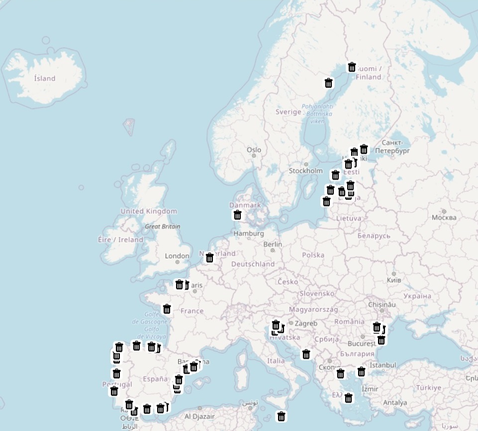
The database on waste at ports in the EU was created in 2018 by CETMAR using the Ports 2013 data available in Eurostat web page (http://ec.europa.eu/eurostat/web/main/home). It is the result of the aggregation and harmonization of datasets provided by several sources from all across the EU and is available for viewing and download on EMODnet web portal (Human Activities, https://emodnet.ec.europa.eu/en/human-activities). Following the MARPOL Convention waste at ports have been reported by Ports indistincly in cubic meters (m3) and/or in tonnes (t) and classified as oily waste (Annex I), garbage (Annex V), sewage (Annex IV), harbour waste (garbage) and total amount*. These datasets include annual data when available and are updated in the following countries: Croatia, Denmark, Estonia, Finland, France, Greece, Italy, Latvia, Malta, Netherlands, Portugal, Romania, Spain and Sweden. *Total amount only report the sum of available values for each of the given units (m3 or tonnes).