Maritime boundaries
Type of resources
Available actions
Topics
Keywords
Contact for the resource
Provided by
Years
Formats
Representation types
-

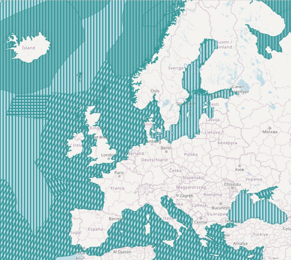
The present layer compiles the marine regions and subregions listed in Article 4 of the Marine Strategy Framework Directive (MSFD), together with other surrounding seas of Europe. The MSFD marine regions and subregions map was developed to support DG Environment and EU Member States in their implementation of the MSFD. It represents the current state of understanding of the marine regions and subregions and is subject to amendment in light of any new information which may be produced
-

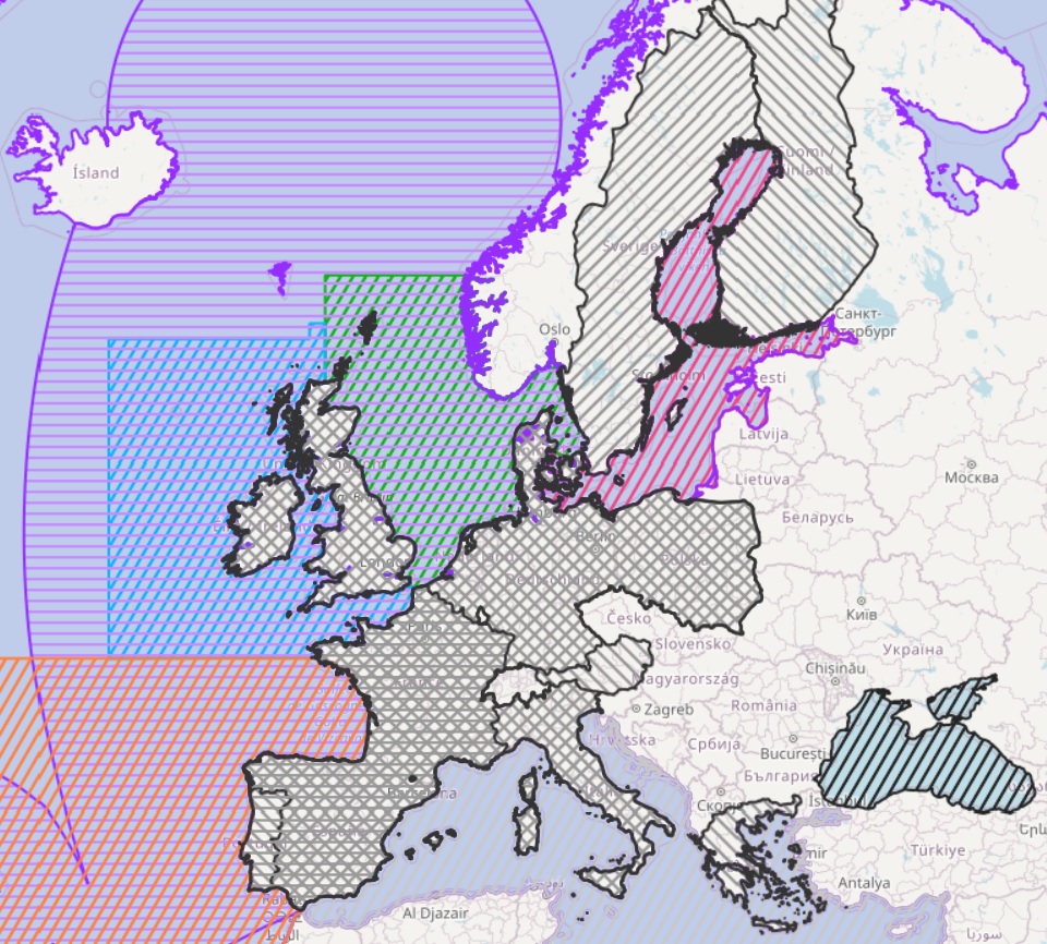
This shape lists the areas covered by the Regional Advisory Councils (RAC) as poligons as exposed in the Atlas of the Seas. The Black Sea, Aquaculture, Markets and Outermost Regions Advisory Conucils have been added. Aditional information regarding to legal fundation have been added to the original shape.
 EMODnet Product Catalogue