 EMODnet Product Catalogue
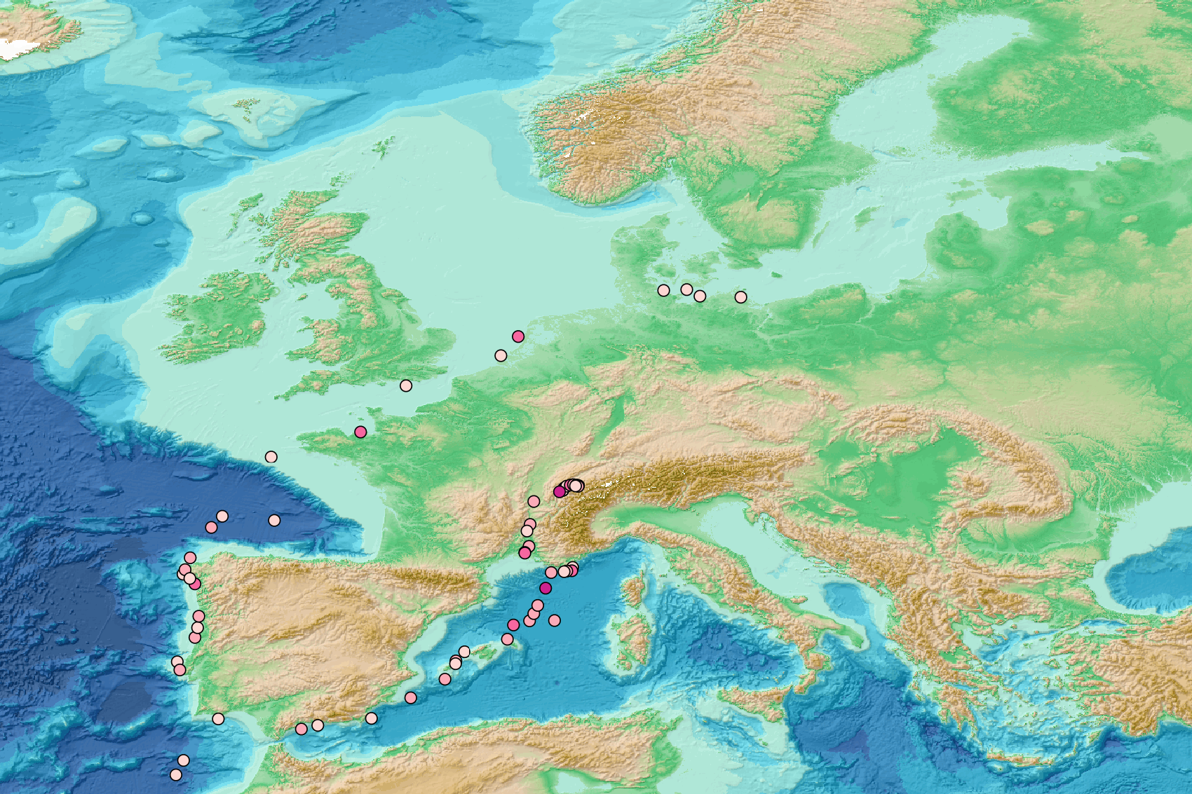
European mainland
Type of resources
Available actions
Topics
Keywords
Contact for the resource
Provided by
Years
Representation types
-
This dataset gather isotopic ratios measured on 359 fish, sharks and crustaceans collected between 200 and 800 m depth, in the Mediterranean canyons during MEDITS 2012 and 2013 surveys Important Note: This submission has been initially submitted to SEA scieNtific Open data Edition (SEANOE) publication service and received the recorded DOI. The metadata elements have been further processed (refined) in EMODnet Ingestion Service in order to conform with the Data Submission Service specifications.
-
This dataset contains the pressure and temperature data acquired by piezometer MAR2-PZML-01 from July 2021 following its deployment during the (MaRoLiS cruise)-[https://doi.org/10.17600/18002394] and its connection to the EMSO-Ligure Nice cabled observatory. Pressure has been measured together with temperature at seven different levels below seafloor as shown in the following table: Image Reference: https://www.seanoe.org/data/00851/96265/illustrations/illustration-192.gif. The P1 and P7 absolute pressure sensors have recorded the ambient pressure of the water column through the seawater-filled interior of the piezometer shaft. The P2 to P6 differential pressure sensors have recorded fluid pressure in the sediment pores relative to the water column pressure. Important Note: This submission has been initially submitted to SEA scieNtific Open data Edition (SEANOE) publication service and received the recorded DOI. The metadata elements have been further processed (refined) in EMODnet Ingestion Service in order to conform with the Data Submission Service specifications.
-
This dataset contains the pressure and temperature data acquired below seafloor by piezometer SPF-PZ3L since October 2015 following its deployment during the (ESS_PENF50_2015 cruise)-[https://doi.org/10.17600/15010900] . It operated in an autonomous mode until its connection to the EMSO-Ligure Nice cabled observatory on the 14/09/2016. Sediment pore pressure together with temperature have been measured at 20 different levels below seafloor as shown in the following table: Image Reference: https://www.seanoe.org/data/00404/51528/illustrations/illustration-194.gif. Important Note: This submission has been initially submitted to SEA scieNtific Open data Edition (SEANOE) publication service and received the recorded DOI. The metadata elements have been further processed (refined) in EMODnet Ingestion Service in order to conform with the Data Submission Service specifications.
-
This dataset contains the pressure and temperature data acquired below seafloor by piezometer ST4-PZ2L-01B since January 2014 following its deployment during the (STEP 2014 cruise)-[https://doi.org/10.17600/14005400]. It operated in an autonomous mode until its connection to the EMSO-Ligure Nice cabled observatory on the 14/09/2016. Sediment pore pressure together with temperature have been measured at 6 different levels below seafloor as shown in the following table: Image Reference: https://www.seanoe.org/data/00403/51490/illustrations/illustration-195.gif. Important Note: This submission has been initially submitted to SEA scieNtific Open data Edition (SEANOE) publication service and received the recorded DOI. The metadata elements have been further processed (refined) in EMODnet Ingestion Service in order to conform with the Data Submission Service specifications.
-
This dataset contains the pressure and temperature data acquired below seafloor by piezometer ST4-PZ2L-03 since January 2014 following its deployment during the (STEP 2014 cruise)-[https://doi.org/10.17600/14005400]. It operated in an autonomous mode until its connection to the EMSO-Ligure Nice cabled observatory on the 13/09/2017. Sediment pore pressure together with temperature have been measured at 7 different levels below seafloor as shown in the following table: Image Reference: https://www.seanoe.org/data/00404/51529/illustrations/illustration-196.gif. Important Note: This submission has been initially submitted to SEA scieNtific Open data Edition (SEANOE) publication service and received the recorded DOI. The metadata elements have been further processed (refined) in EMODnet Ingestion Service in order to conform with the Data Submission Service specifications.
-
The present dataset has been used to assess how macrobenthic communities vary depending on (i) the type of dune, (ii) the position within the dune and (iii) the season. It has been combined with a biological traits dataset [Robert Alexandre Elie, Quillien Nolwenn, Bacha Mahmoud, Caulle Clémence, Nexer Maëlle, Parent Briz, Garlan Thierry, Desroy Nicolas (2021). Biological traits of macroinvertebrates associated with subtidal sandy beforms. SEANOE. https://doi.org/10.17882/80785] and results from this analysis have been published in Marine Pollution Bulletin in 2021 [Alexandre Elie Robert, Nolwenn Quillien, Mahmoud Bacha, Clémence Caulle, Maëlle Nexer, Briz Parent, Thierry Garlan, Nicolas Desroy, Sediment migrations drive the dynamic of macrobenthic ecosystems in subtidal sandy bedforms, Marine Pollution Bulletin, Volume 171, 2021, 112695, ISSN 0025-326X, https://doi.org/10.1016/j.marpolbul.2021.112695. Important Note: This submission has been initially submitted to SEA scieNtific Open data Edition (SEANOE) publication service and received the recorded DOI. The metadata elements have been further processed (refined) in EMODnet Ingestion Service in order to conform with the Data Submission Service specifications.
-
This dataset gathers, total abundance, abundance per size class, total biomass and biomass per size class of two vulnerable fish species, the dusky grouper, Epinephelus marginatus (Lowe, 1834), and the brown meagre, Sciaena umbra Linaeus, 1758, recorded inside and outside the Marine Natural Reserve of Scandola (Corsica, NW Mediterranean) in 2012 and 2018. Fish were recorded by underwater visual censuses performed on belt transects (50 x 15 m) run parallel to the coast between 1 and 40 m depth at 13 sites according to three levels of protection status (integral reserve, buffer zone and unprotected zone). A total of 532 transects were performed in 2012 and 526 in 2018. Image Reference: https://www.seanoe.org/data/00754/86639/illustrations/illustration-134.gif. Corsica 2012-2018-Map Scandola Marine natural Reserve Important Note: This submission has been initially submitted to SEA scieNtific Open data Edition (SEANOE) publication service and received the recorded DOI. The metadata elements have been further processed (refined) in EMODnet Ingestion Service in order to conform with the Data Submission Service specifications.
-
Pressure, temperature, conductivity, and derived salinity data with their associated quality flags from the Vigo section of the monitoring program "Oceanography Time Series in Northern Spain" (RADIALES; https://www.seriestemporales-ieo.net/), carried out by the Instituto Español de Oceanografía. Data were collected biweekly to monthly from August 1987 to September 2020 in the interior of the Ría de Vigo and its adjacent shelf, at four stations with depths ranging from 29 m to 148 m. Data were acquired using MARK III, Sea-Bird Scientific 19 SeaCAT, SBE 9 Plus and SBE 25 Sealogger CTD (conductivity, temperature, depth) profilers. They were processed using Sea-Bird Scientific's Seasoft software package, and subsequently, quality controlled with both ctdcheck (https://github.com/PabloOtero/CTDChecker) and Ocean Data View software. Important Note: This submission has been initially submitted to SEA scieNtific Open data Edition (SEANOE) publication service and received the recorded DOI. The metadata elements have been further processed (refined) in EMODnet Ingestion Service in order to conform with the Data Submission Service specifications.
-
This dataset reports ocenanic CO2 parameters measured on discret samples collected at the SOLEMIO station (Bay of Marseille - North Western Mediterranean Sea - aprox. 65 m depth). The SOLEMIO station is part of the French national network of coastal observation SOMLIT (Service d’Observation en Milieu LITtoral – http://somlit.epoc.u-bordeaux1.fr/fr/). Measurements of carbonate chemistry parameters are not routinely measured within the framework of the SOMLIT network. This datased reports fortnightly measurements collected during three years (between june 2016 and june 2018) at three different depth in the water column (Surface, intermediate and bottom). This dataset is constituted of measurements of total alkalinity, total inorganic carbon and pH (on the total scale). Dissolved oxygen concentrations, inorganic nutrients, temperature and salinity (SOMLIT core parameters) are also reported. Important Note: This submission has been initially submitted to SEA scieNtific Open data Edition (SEANOE) publication service and received the recorded DOI. The metadata elements have been further processed (refined) in EMODnet Ingestion Service in order to conform with the Data Submission Service specifications.
-
This visualization product displays the density of floating micro-litter per net normalized per km² per year from specific protocols different from research and monitoring protocols. EMODnet Chemistry included the collection of marine litter in its 3rd phase. Before 2021, there was no coordinated effort at the regional or European scale for micro-litter. Given this situation, EMODnet Chemistry proposed to adopt the data gathering and data management approach as generally applied for marine data, i.e., populating metadata and data in the CDI Data Discovery and Access service using dedicated SeaDataNet data transport formats. EMODnet Chemistry is currently the official EU collector of micro-litter data from Marine Strategy Framework Directive (MSFD) National Monitoring activities (descriptor 10). A series of specific standard vocabularies or standard terms related to micro-litter have been added to SeaDataNet NVS (NERC Vocabulary Server) Common Vocabularies to describe the micro-litter. European micro-litter data are collected by the National Oceanographic Data Centres (NODCs). Micro-litter map products are generated from NODCs data after a test of the aggregated collection including data and data format checks and data harmonization. A filter is applied to represent only micro-litter sampled according to a very specific protocol such as the Volvo Ocean Race (VOR) or Oceaneye. Densities were calculated for each net using the following calculation: Density (number of particles per km²) = Micro-litter count / (Sampling effort (km) * Net opening (cm) * 0.00001) When the number of microlitters or the net opening was not filled, the density could not be calculated. Percentiles 50, 75, 95 & 99 have been calculated taking into account data for all years. Warning: the absence of data on the map doesn't necessarily mean that they don't exist, but that no information has been entered in the National Oceanographic Data Centre (NODC) for this area.