Horizontal spatial co-ordinates
Type of resources
Available actions
Topics
Keywords
Contact for the resource
Provided by
Years
Formats
Representation types
Update frequencies
-

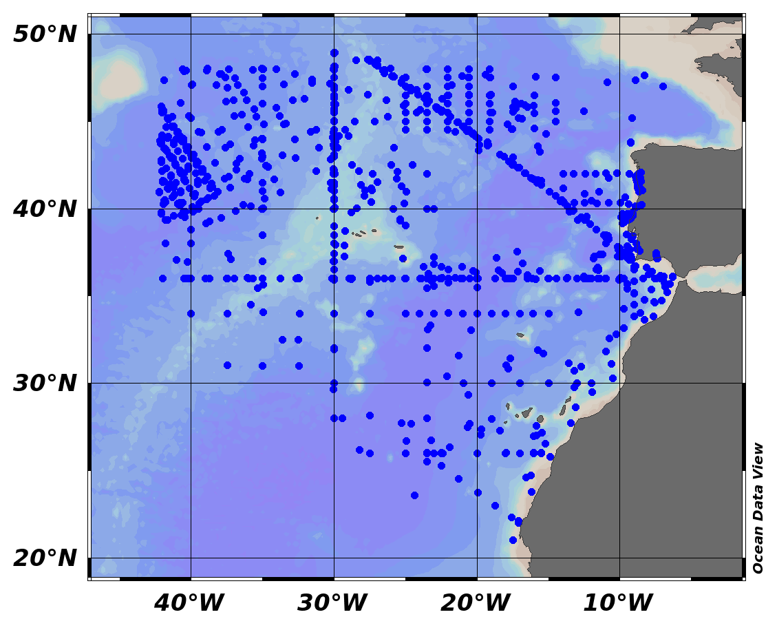
EMODnet Chemistry aims to provide access to marine chemistry data sets and derived data products concerning eutrophication, ocean acidification and contaminants. The chemicals chosen reflect importance to the Marine Strategy Framework Directive (MSFD). This regional aggregated dataset contains all unrestricted EMODnet Chemistry data on contaminants (20 parameters), and covers the North East Atlantic Ocean with 2400 CDI records divided per matrices: 122 in biota (as time series), 1689 in water (as vertical profiles), 589 in sediment (478 Vertical profiles and 111 Time series). Vertical profiles temporal range is from 1970-07-29 to 2017-02-28. Time series temporal range is from 1979-02-28 to 2014-10-21. Data were aggregated and quality controlled by ‘IFREMER / IDM / SISMER - Scientific Information Systems for the SEA’ from France. Regional datasets concerning contaminants are automatically harvested. Parameter names in these datasets are based on P01, BODC Parameter Usage Vocabulary, which is available at: http://seadatanet.maris2.nl/bandit/browse_step.php . Each measurement value has a quality flag indicator. The resulting data collections for each Sea Basin are harmonised, and the collections are quality controlled by EMODnet Chemistry Regional Leaders using ODV Software and following a common methodology for all Sea Regions. Harmonisation means that: (1) unit conversion is carried out to express contaminant concentrations with a limited set of measurement units (according to EU directives 2013/39/UE; Comm. Dec. EU 2017/848) and (2) merging of variables described by different “local names” ,but corresponding exactly to the same concepts in BODC P01 vocabulary. The harmonised dataset can be downloaded as ODV spreadsheet (TXT file), which is composed of metadata header followed by tab separated values. This worksheet can be imported to ODV Software for visualisation (More information can be found at: https://www.seadatanet.org/Software/ODV ). The same dataset is offered also as XLSX file in a long/vertical format, in which each P01 measurement is a record line. Additionally, there are a series of columns that split P01 terms in subcomponents (measure, substance, CAS number, matrix...).This transposed format is more adapted to worksheet applications users (e.g. LibreOffice Calc). The 20 parameter names in this metadata record are based on P02, SeaDataNet Parameter Discovery Vocabulary, which is available at: http://seadatanet.maris2.nl/v_bodc_vocab_v2/vocab_relations.asp?lib=P02 . Detailed documentation will be published soon. The original datasets can be searched and downloaded from EMODnet Chemistry Download Service: https://emodnet-chemistry.maris.nl/search
-

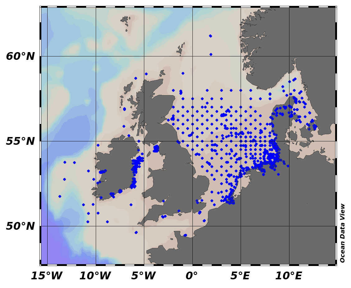
EMODnet Chemistry aims to provide access to marine chemistry data sets and derived data products concerning eutrophication, ocean acidification and contaminants. The chemicals chosen reflect importance to the Marine Strategy Framework Directive (MSFD). This regional aggregated dataset contains all unrestricted EMODnet Chemistry data on contaminants (59 parameters), and covers the North Sea with 34978 CDI records divided per matrices: 3909 biota time series, 28071 water profiles, 2998 sediment profiles. Vertical profiles temporal range is from 1970-02-17 to 2017-10-26. Time series temporal range is from 1979-02-26 to 2017-02-28. Data were aggregated and quality controlled by ‘Aarhus University, Department of Bioscience, Marine Ecology Roskilde from Denmark. Regional datasets concerning contaminants are automatically harvested. Parameter names in these datasets are based on P01, BODC Parameter Usage Vocabulary, which is available at: http://seadatanet.maris2.nl/bandit/browse_step.php . Each measurement value has a quality flag indicator. The resulting data collections for each Sea Basin are harmonised, and the collections are quality controlled by EMODnet Chemistry Regional Leaders using ODV Software and following a common methodology for all Sea Regions. Harmonisation means that: (1) unit conversion is carried out to express contaminant concentrations with a limited set of measurement units (according to EU directives 2013/39/UE; Comm. Dec. EU 2017/848) and (2) merging of variables described by different “local names” ,but corresponding exactly to the same concepts in BODC P01 vocabulary. The harmonised dataset can be downloaded as ODV spreadsheet (TXT file), which is composed of metadata header followed by tab separated values. This worksheet can be imported to ODV Software for visualisation (More information can be found at: https://www.seadatanet.org/Software/ODV ). The same dataset is offered also as XLSX file in a long/vertical format, in which each P01 measurement is a record line. Additionally, there are a series of columns that split P01 terms in subcomponents (measure, substance, CAS number, matrix...).This transposed format is more adapted to worksheet applications users (e.g. LibreOffice Calc). The 59 parameter names in this metadata record are based on P02, SeaDataNet Parameter Discovery Vocabulary, which is available at: http://seadatanet.maris2.nl/v_bodc_vocab_v2/vocab_relations.asp?lib=P02 . Detailed documentation will be published soon. The original datasets can be searched and downloaded from EMODnet Chemistry Download Service: https://emodnet-chemistry.maris.nl/search
-
The dataset contains circalitoral habita types in the Slovenian coastal area. It contains the description of habitat types, EUNIS codes, areas of the habitat and the key species described.
-
The regulation published in the Official Gazette of the Republic of Slovenia determines the areas dedicated to aquaculture of specific marine organisms. The areas planned for aquaculture of shellfish are separated from the areas dedicated to the fish aquaculture.
-
ADCP measurements of sea currents along the profile at the entrance to the Gulf of Koper, located in the Gulf of Trieste, in November 2011
-
This dataset was collected during the iMAR cruise “The Integrated assessment of the distribution of Vulnerable Marine Ecosystem along the Mid-Atlantic Ridge (MAR) in the Azores region”, that took place aboard the Research Vessel Pelagia of the Royal Netherlands Institute for Sea Research (NIOZ) between May 19th and June 2nd 2021. The iMAR cruise aimed to evaluate the role of the MAR in shaping latitudinal and trans-Atlantic patterns in deep-sea biogeography, connectivity and assemblages of deep-sea megafauna. This expedition was funded by the SEA OCEANS program of Eurofleets+ and the H2020 European project iAtlantic, and was led by the University of the Azores (Portugal) in collaboration with the Hydrographic Institute and University of Porto (Portugal), the University of Aarhus (Denmark), the National Oceanography Center (United Kingdom), GEOMAR (Germany), the University Museum of Bergen (Norway), the PP Shirshov Institute of Oceanology (Russia), and the University of Vale do Itajaí (Brazil). The deep-sea benthic communities were mapped using the NIOZ towed camera system. The Hopper system generated a series of high-definition video transects in each area explored, starting from the deepest point (set at 1,200 m approx.) and moving upwards towards the seamount or ridge summit (700 m to 300 m depth). During the iMAR cruise, 22 stations for Hopper video transects were performed (Table 1), mainly in the North portion of the MAR inside the Exclusive Economic Zone around the Azores, which produced approximately 54 hours of bottom time, along 48 km of seafloor. Important Note: This submission has been initially submitted to SEA scieNtific Open data Edition (SEANOE) publication service and received the recorded DOI. The metadata elements have been further processed (refined) in EMODnet Ingestion Service in order to conform with the Data Submission Service specifications.
-
This dataset contain the metadata for all stations conducted during the iMAR cruise “The Integrated assessment of the distribution of Vulnerable Marine Ecosystem along the Mid-Atlantic Ridge (MAR) in the Azores region”, that took place aboard the Research Vessel Pelagia of the Royal Netherlands Institute for Sea Research between May 19th and June 2nd 2021. This expedition was funded by the SEA OCEANS program of Eurofleets+ and the H2020 European project iAtlantic, and was led by the University of the Azores (Portugal) in collaboration with the Hydrographic Institute and University of Porto (Portugal), the University of Aarhus (Denmark), the National Oceanography Center (United Kingdom), GEOMAR (Germany), the University Museum of Bergen (Norway), the PP Shirshov Institute of Oceanology (Russia), and the University of Vale do Itajaí (Brazil). Statistics: Cruise duration was 17 days, 2,500 km of transits, 6 areas visited, 5,500 km2 of mapped seabed (mainly in the North portion of the MAR in the EEZ around the Azores), 19 dives with the NIOZ video system that resulted in 54 hours of deep-sea images over 48 km of the seabed, 13 stations for the analysis of water mass properties and to collect sediments, which resulted in 380 samples for environmental DNA, 280 samples for nutrient analyses, 27 sediment samples for geological analyses, 24 for microplastic analyses, 10 samples for bacteriological, and 10 samples meiofauna analyses. Important Note: This submission has been initially submitted to SEA scieNtific Open data Edition (SEANOE) publication service and received the recorded DOI. The metadata elements have been further processed (refined) in EMODnet Ingestion Service in order to conform with the Data Submission Service specifications.
-
GPS Measurements of surface drifters
-
The abyssal classification geomorphic feature layer represents the spatial extent of the abyssal areas of the worlds oceans based on interpretation of the SRTM30 plus v7 global bathymetry model. The layer is one of the 25 layers that make up the global seafloor geomorphic features map (Harris et.al. 2014). The abyss is the area of seafloor located at depths below the foot of the continental slope and above the depth of the hadal zone (defined as deeper than 6,000 m). The abyssal classification feature layer was created by clipping a layer representing the ocean with the shelf, slope and hadal layers. The resulting layer was then classification into areas of plains, hills and mountains based on variation in topography. This data set has been used as one of the data inputs in the Atlantic REMP project. This project, funded by the European Union, worked together with stakeholders to produce a draft Regional Environmental Management Plan (REMP) for the Area in the North Atlantic, with a focus on the polymetallic sulphide deposits of the Mid-Atlantic Ridge which are of interest for deep-sea mining. There was close collaboration with the International Seabed Authority (ISA) and a consortium of scientific organisations. Marine data from multiple data services underpinned the environmental management plan development. A selection of the data sets is included in EMODnet Ingestion for wider distribution.
-
The dataset represents the division of the world oceans into provinces as defined by Longhurst (1995; 1998; 2006). The division has been based on the prevailing role of physical forcing as a regulator of phytoplankton distribution. The dataset contains the initial static boundaries developed at the Bedford Institute of Oceanography, Canada. Note that the boundaries of these provinces are not fixed in time and space, but are dynamic and move under seasonal and interannual changes in physical forcing. At the first level of reduction, Longhurst recognised four principal biomes: the Polar biome, the Westerlies biome, the Trade winds biome, and the Coastal biome. These four biomes are recognised in every major ocean basin. At the next level of reduction, the ocean basins are divided into provinces, roughly ten for each basin. These regions provide a template for data analysis or for making parameter assignments on a global scale. This data set has been used as one of the data inputs in the Atlantic REMP project. This project, funded by the European Union, worked together with stakeholders to produce a draft Regional Environmental Management Plan (REMP) for the Area in the North Atlantic, with a focus on the polymetallic sulphide deposits of the Mid-Atlantic Ridge which are of interest for deep-sea mining. There was close collaboration with the International Seabed Authority (ISA) and a consortium of scientific organisations. Marine data from multiple data services underpinned the environmental management plan development. A selection of the data sets is included in EMODnet Ingestion for wider distribution.
 EMODnet Product Catalogue