Scope
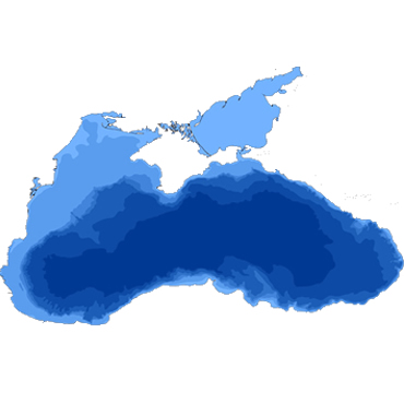
The scope of this challenge was to check the fitness for use of the available marine data sets to compute digital bathymetry and uncertainty for sampling areas of the Black Sea, and indicate regions showing priority areas for surveying for safer navigation, or to indicate gaps in the EU data collection framework during the time period ourlined below.
This activity of the EU BlackSea checkpoint project (DG MARE contract n° EASME/EMFF/2014/1.3.1.3/LOT4/SI2.709436) was executed during the 2015-2018 period of time. The methodology used was identical for all challenges.
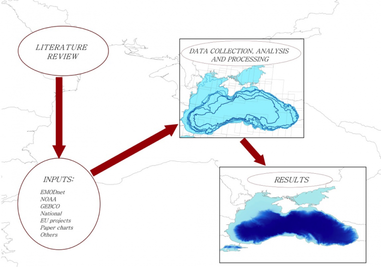
- Production of a literature survey to identify state of the art activities related to the use case and clarify the landscape of monitoring data covering the BlackSea,
- Specification of needs for production and realisation of the product,
- Evaluation of the adequacy of monitoring data, that is their availability and appropriateness.
The team participating in the challenge was:
- Institute of Оceanology, Bulgarian Academy of Sciences, IO-BAS, Bulgaria (Leader)
Checkpoint results
- Expert evaluation report to get feedback on the appropriateness of upstream data used in product realization,
- Integrated reports on the checkpoint project including:
- Literature Survey: covering all upstream data and possible uses
- First Data Adequacy Report to get feedback on the stress test on availability* of all referenced data sets
- Second Data Adequacy report for full feedback on availability and appropriateness of all used data sets, for all challenges.
Use limitation and reference
The EMODnet Black Sea Checkpoint practical outputs are the results of the assessment exercise carried out to address the so-called “challenges” specified by the call for tenders n° MARE/2014/09 aiming at determining how well the input data from the observing and monitoring systems existing at the sea basin scale fit the user needs to address them.
This product and any resultant data produced was a consequence of these tests and provided on an “as is” basis. The information contained in the data products and in the descriptions (metadata) of the input data and of the data products making use of them was believed to be trustworthy at the time of production. However, its completeness, consistency, accuracy, and usability cannot be guaranteed. Whilst every effort was made to ensure its reliability within the limits of present knowledge, no responsibility can be accepted by those involved in its compilation or publication for any consequential loss or damage arising from its use.
The producer disclaims any and all warranties, conditions, or representations (express, implied, oral or written), relating to the Product or any part thereof, including, without limitation, any and all implied warranties of quality, performance, suitability or fitness for a particular purpose to the full extent permitted by law. The Producer accepts no liability for loss suffered or incurred as a result of reliance on the Product or any output of its use. The Producer shall not be liable for any economic loss, loss of profit, loss of business or contract, depletion of goodwill or otherwise, in each case whether direct, or indirect or any indirect loss whatsoever (howsoever caused) including loss or damage suffered as a result of an action brought by any person which arise out of or in connection with the use of the Product or inability to use the Product.