EMODnet for Arctic Stakeholders
EMODnet resources for Arctic Stakeholders
The EMODnet Central Portal and thematic sub portals already provide a wealth of data and products that are relevant for users and stakeholders beyond the EU. This section provides an overview of relevant EMODnet resources covering the Arctic sea-basin.
More information about EMODnet Arctic resources
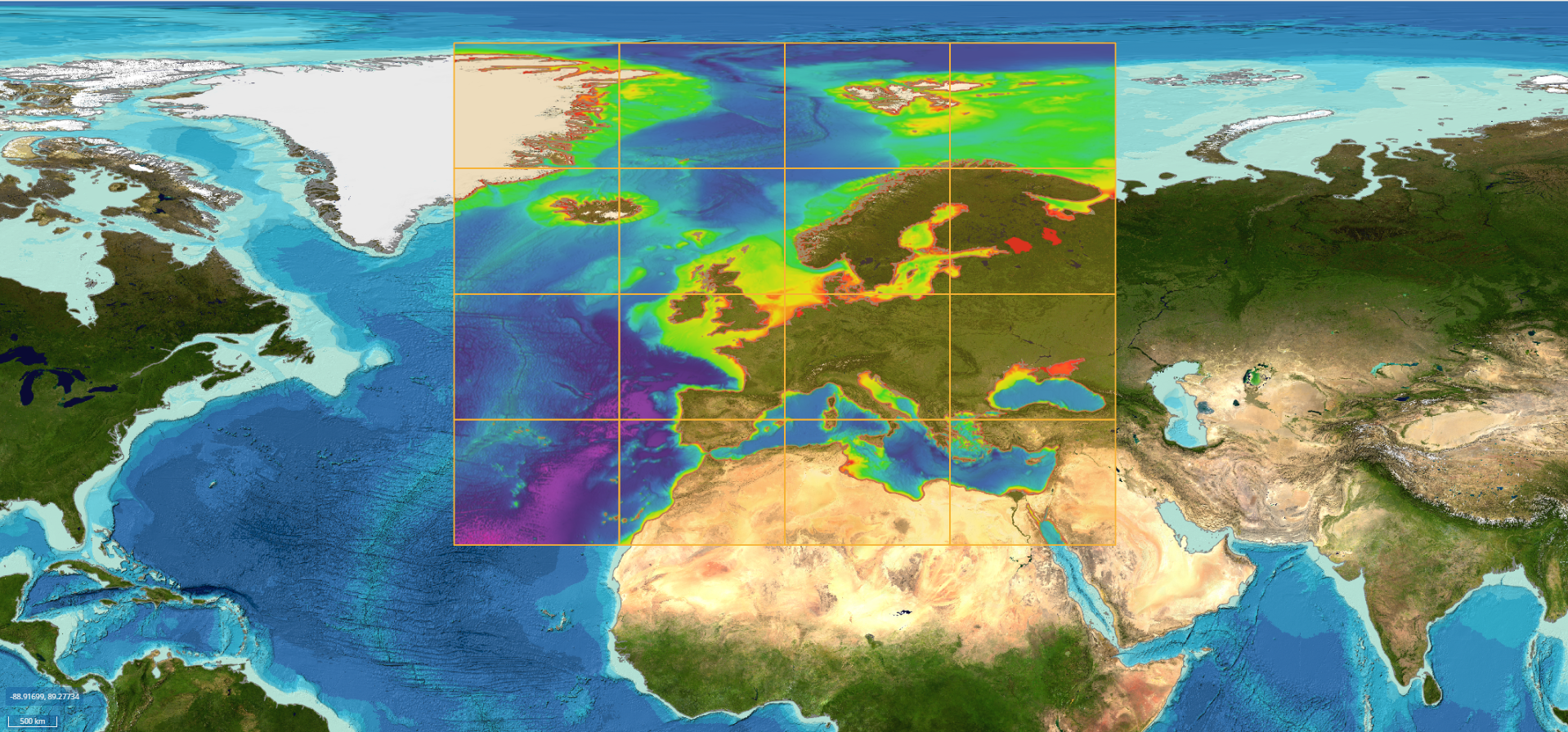
Bathymetric data for the whole of Europe, including the Arctic, are accessible for download through the EMODnet Bathymetry CDI Discovery and Access Service.
The production of the EMODnet Bathymetry Digital Terrain Model (DTM) data product was based on these datasets, and is accessible for download per tile through the EMODnet Bathymetry Viewing and Download Service (i.e. map viewer).
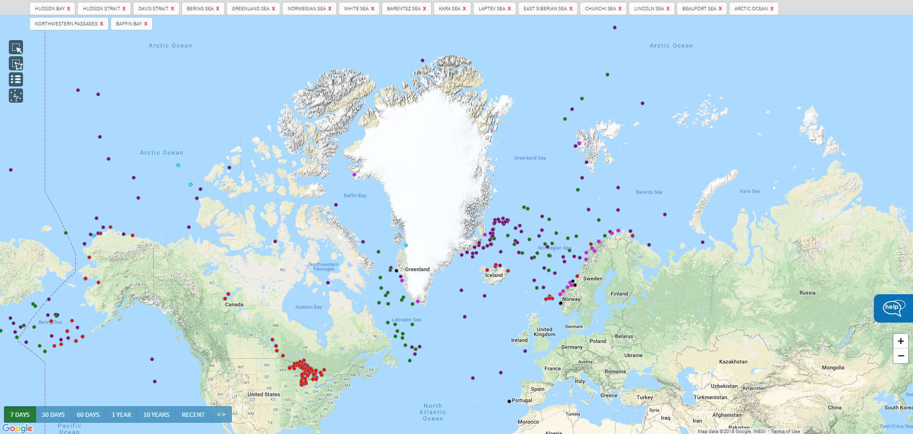
EMODnet Physics provides access to physical data from a global set of platforms in near-real time, for the past 60 days as well as archived data.
It also provides a number of data products building on data from these platforms. Users can access all available data from platforms in the Arctic using the map viewer and selecting the Arctic sea-basin subset.
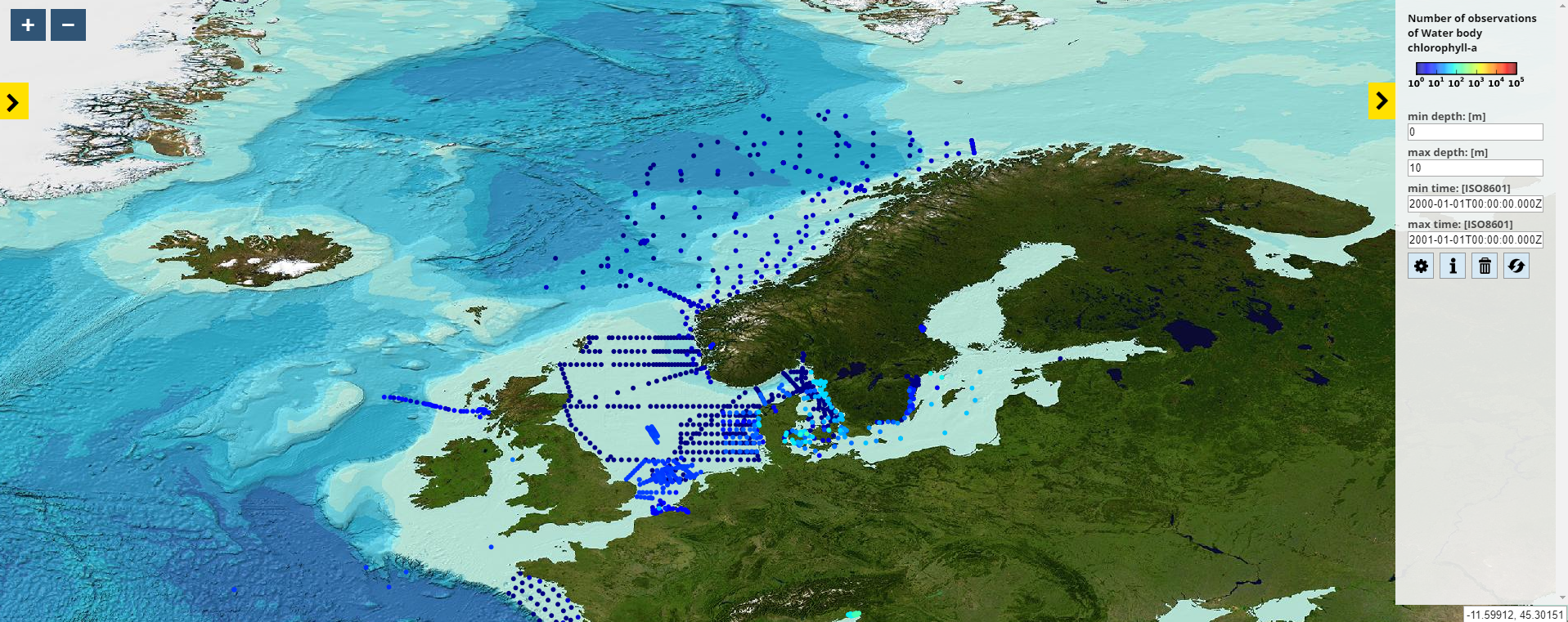
Datasets on contamination, eutrophication and marine litter are offered through EMODnet Chemistry. Two search engines (CDI Data Discovery and Access Service – an extended and quick one) guide you through your search, and allow you filtering thousands of datasets until you find the one you need.
In addition, EMODnet Chemistry’s OceanBrowser map viewer presents unique data products based on the data, categorised per sea-basin and available for download.
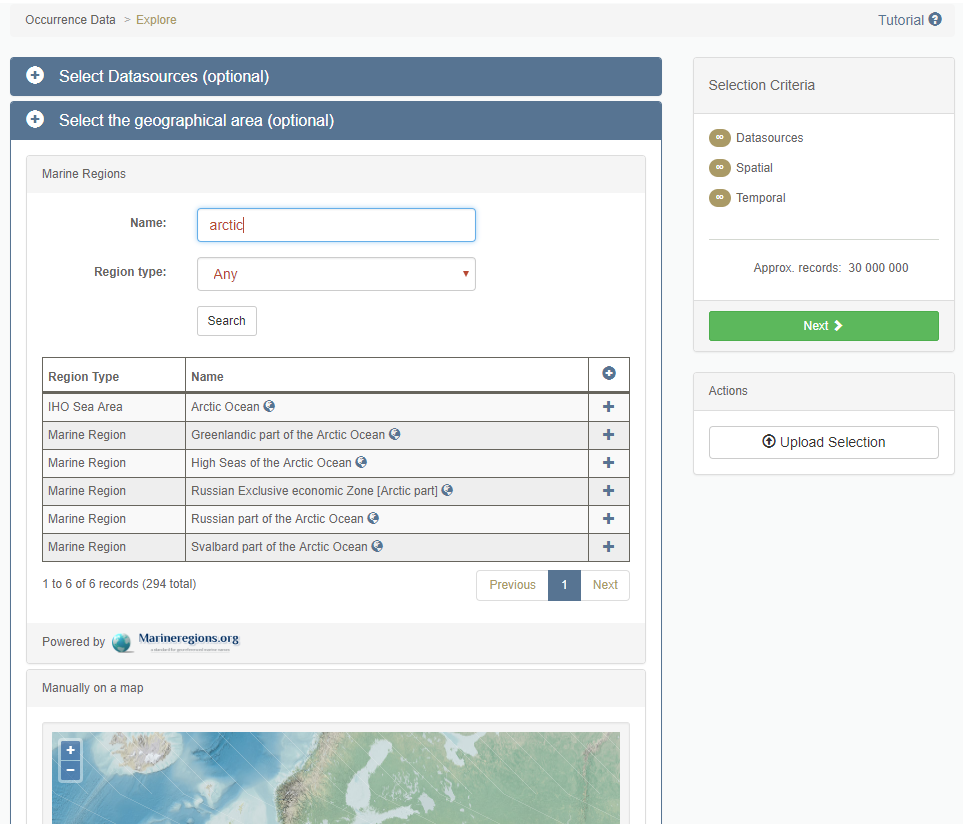
EMODnet Biology offers the Data Download Toolbox, allowing users to filter the database according to their needs. One option is to filter the datasets based on geographical area.
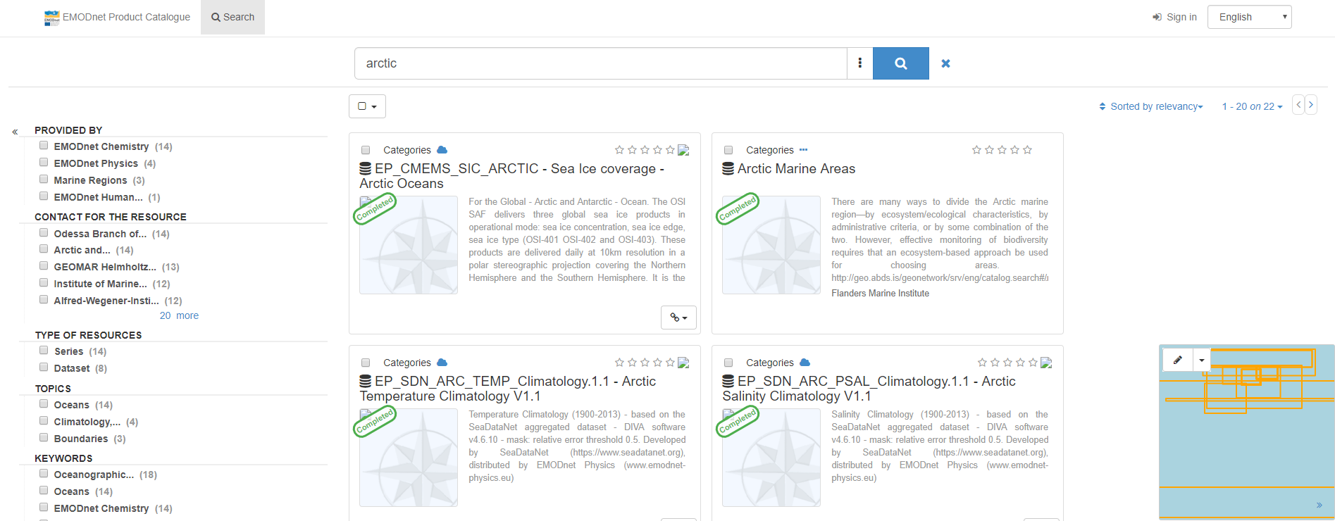
The EMODnet Catalogue contains data and data products. By making use of the search bar, the user can find back a list of datasets and data products with relevance to the Arctic sea-basin.
The objective of the Arctic Checkpoint is to examine the current data collection, observation, surveying, sampling and data assembly programmes in the Artic sea-basin, analyse how they can be optimised and deliver the findings through the dedicated web portal. This is realised by running data stress tests, within which the adequacy of the data is assessed for a number of pre-defined societal challenges (ten in case of the Arctic Sea-basin).
The Arctic Ocean includes the following water bodies: Baffin Bay, Barents Sea, Beaufort Sea, Chukchi Sea, East Siberian Sea, Greenland Sea, Hudson Bay, Hudson Strait, Kara Sea, Laptev Sea, Northwest Passage, and other tributary water bodies.
Reports from the Arctic Sea-Basin Checkpoint are available on theReports page
.
Observation and data resources from Horizon 2020 Projects with Arctic coverage
EMODnet partners also participate in, and/or support, a range of European projects and initaitives aimed at improving marine observation activities and data collection, management and access to ensure collected observations/data are share and available openly to wide range of stakeholders from science, public sector, industry and civil society. Below are relevant project and associated resources with an Arctic remit.
More information about relevant projects with resources for Arctic users and stakeholders
CAP-ICE: CArbon Production of under-ICE phytoplankton blooms in a changing Arctic Ocean
Over the last decades, sea-ice in the Arctic Ocean (AO) has undergone unprecedented changes, with drastic decline in its extent, thickness and duration. Modern climate models are unable to simulate these changes, leading to large uncertainties in Arctic and Global Change predictions. Sea-ice strongly attenuates solar radiation and it is generally thought that phytoplankton, which drives Arctic marine CO2 sequestration, only grow in open waters once sea-ice retreats in spring. However, the discovery of large under-ice phytoplankton blooms (UIBs) growing beneath sea-ice contradicts this paradigm. UIB productivity in ice-covered regions has been suggested to be ten-fold larger than presently modeled. By initiating an international network (USA, France, Canada, Germany, Norway), the CAP-ICE project will acquire knowledge on the occurrence of UIBs, the physical mechanisms that control their initiation and productivity, and will quantify how UIBs affect the Arctic carbon cycle and climate. CAP-ICE will equally combine observational, modeling and novel technology approaches.
https://cordis.europa.eu/project/rcn/209553_en.html
ARCGATE: maximizing the potential of Arctic Ocean Gateway array
ARCGATE aims to obtain innovative physical and biogeochemical budgets for the Arctic Ocean based on the Arctic gateway observations.
https://cordis.europa.eu/project/rcn/194813_en.html
Other resources
- NSF, Arctic Data Center
- Arctic Portal
- Polar Data Catalogue
- Arctic Data Integration Portal
- NGEE Arctic Data search
- Arctic Council
- Conservation of Arctic Flora and Fauna (CAFF)
- The Arctic Biodiversity Data Service (ABDS) Data Portal
- Arctic Observing viewer
- International Arctic Research Center, Data Archive
- SAON Data Portal
