EMODnet resources for Atlantic Stakeholders
The EMODnet Central Portal and thematic sub portals already provide a wealth of data and products that are relevant for users and stakeholders beyond the EU. This section provides an overview of relevant EMODnet resources for Atlantic Stakeholders.
More information about specific EMODnet resources for Atlantic users and stakeholders
- EMODnet Physics Data Portal
EMODnet Physics provides access to physical data from a global set of platforms in near-real time, for the past 60 days as well as archived data. It also provides a number of data products building on data from these platforms. Users can access all available data from platforms in the Atlantic using the map viewer and selecting the Atlantic sea-basin subset.
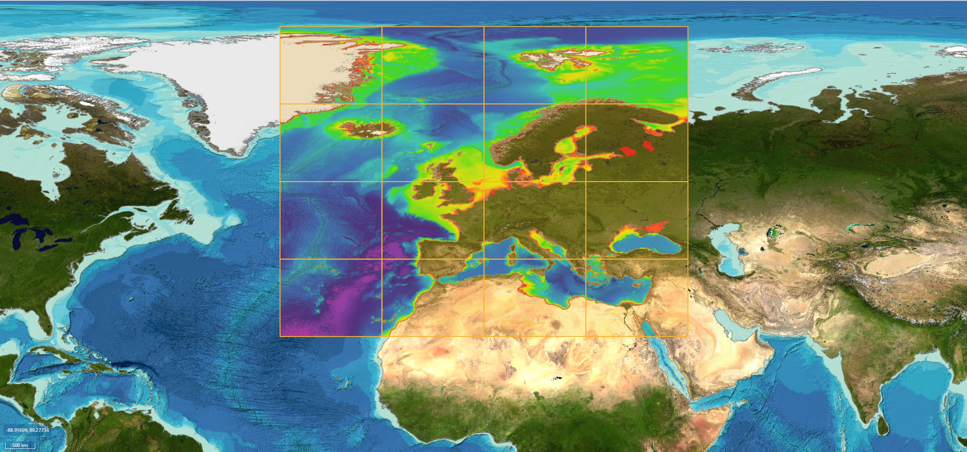
- EMODnet Bathymetry Data Portal
Bathymetric data for the whole of Europe, including the Atlantic, are accessible for download through the EMODnet Bathymetry CDI Discovery and Access Service. The production of the EMODnet Bathymetry Digital Terrain Model (DTM) data product is based on these datasets, and is accessible for download through per tile the EMODnet Bathymetry Viewing and Download Service (i.e. map viewer).
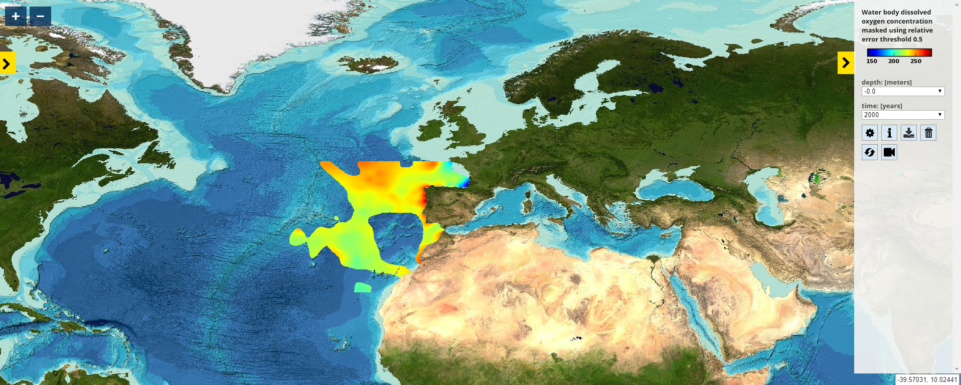
- EMODnet Chemistry Data Portal
Datasets on contamination, eutrophication and marine litter are offered through EMODnet Chemistry. Two search engines (CDI Data Discovery and Access Service – an extended and quick one) guide you through your search, and allow you filtering thousands of datasets until you find the one you need. In addition, EMODnet Chemistry’s OceanBrowser map viewer presents unique data products based on the data, categorised per sea basin and available for download.
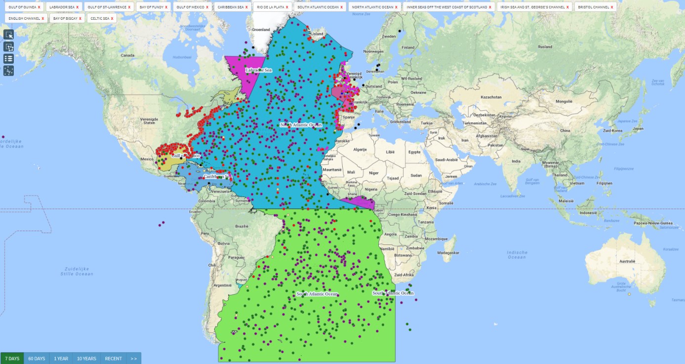
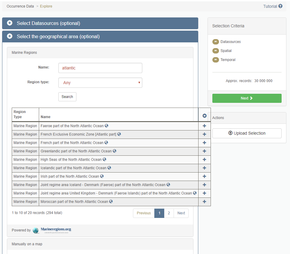
- EMODnet Biology Data Portal
EMODnet Biology offers the Data Download Toolbox, allowing users to filter the database according to their needs. One option is to filter the datasets based on geographical areas.
Occurrence Data Download Toolbox
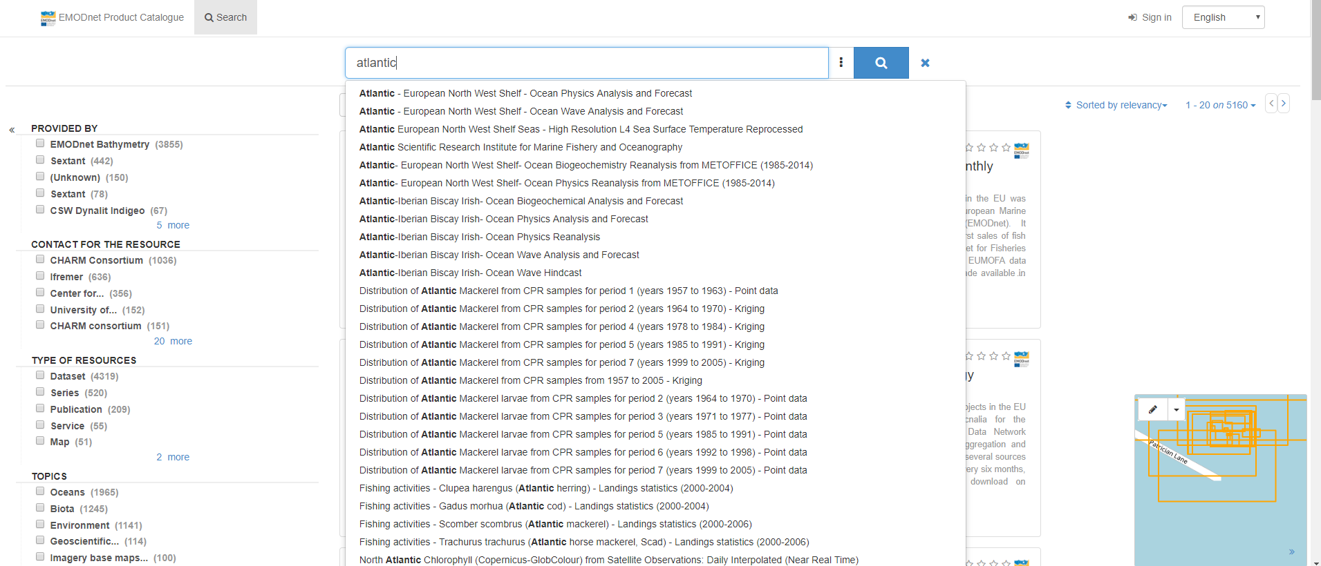
- EMODnet Central Catalogue
Besides offering a single gateway to all thematic Data Portals, the Central Portal contains a data and data product Catalogue providing an overview of the majority of the data and data products (and associated metadata) available across all Data Portals. By making use of the search bar, the user can find back a list of datasets and data products with relevance to the Atlantic sea-basin.
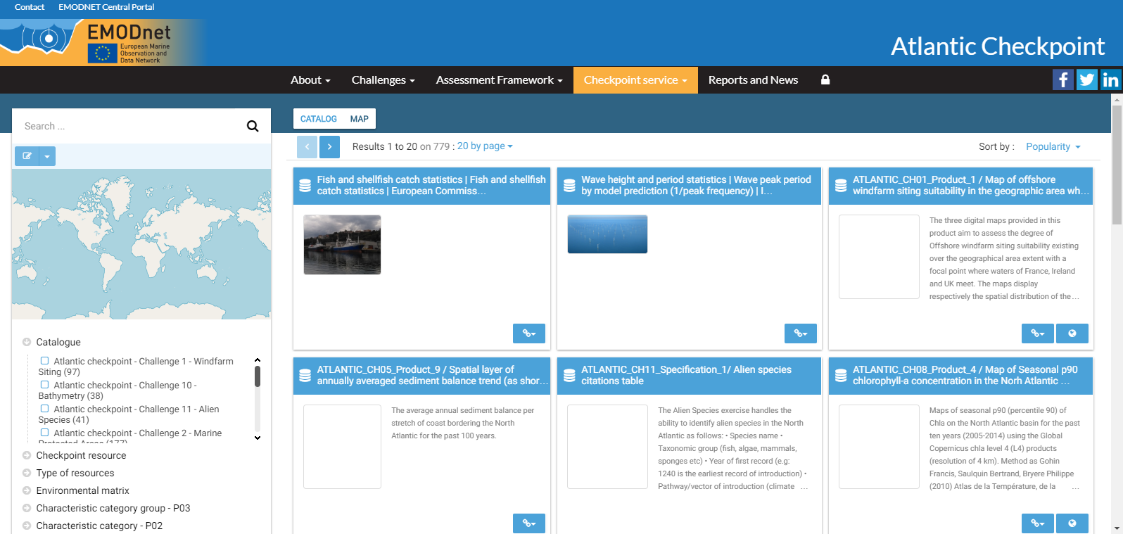
- EMODnet Atlantic Checkpoint webGIS metadata catalogue
The EMODnet Atlantic Checkpoint is a sea-basin monitoring system assessment activity aiming to support sustainable growth in the blue economy by assessing the potential of current marine observation and data services to address targeted end-user applications.The geographic coverage extends from the Atlantic Ocean north of the equator up to the Arctic Ocean and excluding the North Sea, but the pragmatic geographic approach is the EU economic zones.
The EMODnet Atlantic Checkpoint data stress test provides information about data adequacy for a number of pre-defined societal challenges (in case of the Atlantic, there are eleven challenges). The Checkpoint has adopted the Sextant webGIS system to store all metadata pertaining to challenge-related data in an Atlantic Checkpoint data catalogue. From this catalogue, a number of indicators can be computed to provide our commissioners and stakeholders with a picture of most salient data gaps in EU waters and beyond, whether they be spatial, temporal or semantic. The data portal provides access to the metadata for its own targeted products developed as well as those developed in/by? WP8 of the AtlantOS project. The catalogue is based on Sextant.
Observation and data resources from Horizon 2020 Projects with Atlantic coverage
EMODnet partners also participate in, and/or support, a range of European projects and initiatives aimed at improving marine observation activities and data collection, management and access to ensure collected observations/data are share and available openly to wide range of stakeholders from science, public sector, industry and civil society. Below are relevant project and associated resources with an Atlantic remit.
EMODnet is closely working with the large and international researchers, the wider marine research community, marine research infrastructures, and increasingly with the private sector, for the sharing of data through national data management centres, European infrastructures such as SeaDataNet and the EMODnet Data Ingestion portal. This ensures that research data are not only available in national repositories at the end of a project but are made available and harmonised and standardised to EU and International data standards, then integrated into EMODnet for long-term discovery and access by all.
As a result, EMODnet currently has more than 1 million of data sets as collected through SeaDataNet, and also in combination with EMODnet, from many research cruises and other ocean observations from research projects, industry and more.
In addition, EMODnet has a number of ongoing dialogues with European Horizon 2020 research and innovation projects, to ensure an optimized data flow from research projects to long-term discovery and access through EMODnet. These co-operations include the following projects:
H2020 iAtlantic: https://www.iatlantic.eu/
H2020 Mission Atlantic: https://missionatlantic.eu/
H2020 AtlantECO: https://www.atlanteco.eu/
H2020 Tri-Atlas: https://triatlas.w.uib.no/
H2020 ATLAS (2016-2020): https://www.eu-atlas.org/
H2020 AtlantOS (2016-2019): https://www.atlantos-h2020.eu/
And more.
Through these projects, EMODnet is also building stronger partnerships with other regional marine observation and data initiatives and services, including the South African Environmental Observation Network (SAEON).
More information about relevant projects with resources for Atlantic users and stakeholders
- AtlantOS - Optimising and Enhancing the Integrated Atlantic Ocean Observing Systems
AtlantOS was a Horizon 2020 project on "Developing in-situ Atlantic Ocean Observations for a better management and sustainable exploitation of the maritime resources" that proposed the integration of ocean observing activities across all disciplines for the Atlantic, considering European as well as non-European partners. The vision of AtlantOS was to improve and innovate Atlantic observing by using the Framework of Ocean Observing to obtain an international, more sustainable, more efficient, more integrated, and fit-for-purpose system. More information about AtlantOS: https://www.atlantos-h2020.eu/.
Some Atlantic data resources available in AtlantOS:
- AtlantOS metadata catalogue – https://www.atlantos-h2020.eu/atlantos-catalogue/#/search?from=1&to=20
- Go to the dedicated EMODnet AtlantOS community page.
- ATLAS - A Trans-Atlantic assessment and deep-water ecosystem-based spatial management plan for Europe.
The ATLAS project is striving to improve our understanding of complex deep-sea ecosystems and their associated species, including those that are new to science.
Researchers are looking to predict future changes to these ecosystems and species together with their vulnerabilities in the face of climate change. As well as carrying out pioneering research and discovery, ATLAS is developing a scientific knowledge base that can inform the development of international policies to ensure deep-sea Atlantic resources are managed effectively.
- More information about the ATLAS project: https://www.eu-atlas.org/
- Go to the dedicated EMODnet ATLAS community page.
- AORA-CSA – Atlantic Ocean Research Alliance Coordination and Support Action
AORA-CSA is tasked with the implementation of activities of the EU, Canada and USA Galway Statement and its Atlantic Ocean Research Alliance signed in May 2013. This Statement establishes a formal Atlantic Ocean Research Cooperation between the European Union, its Member States, the United States of America and Canada and partner countries that builds on existing initiatives and programmes to increase coherence and coordination of ocean research cooperation. More information about AORA-CSA: https://www.atlanticresource.org/aora/site-area/about-us/about-aora-csa.
Other resources
- NOAA North Atlantic data portal (prototype) with bathymetry data (with major contributions from EMODnet bathymetry): https://maps.ngdc.noaa.gov/viewers/north_atlantic/
- NOAA Fisheries Data download: https://www.greateratlantic.fisheries.noaa.gov/educational_resources/gis/data/index.html
- NOAA Nautical Chart: https://nauticalcharts.noaa.gov/
- Mid-Atlantic Ocean Data Portal (MARCO) with a data catalogue and other resources: http://portal.midatlanticocean.org/
- MarineCadastre.gov: http://marinecadastre.gov/
- Northeast Ocean Data: http://northeastoceandata.org/
- The Atlantic Strategy and the Support Team for the Atlantic Action Plan: http://www.atlanticstrategy.eu/en