Marine Institute SeaRover project, co-funded by the Irish Government and the European Maritime and Fisheries Fund 2014-2020
The EMODnet map viewer displays and gives access to broad scale predictive habitat maps and collated seabed habitat maps from surveys within Europe's marine waters. In addition, habitat models, composite products, protected habitats and point data have also been collated. This story map gives a visually rich illustrative description of the products found on the EMODnet Portal.
The story map is divided into 5 sections each detailing a map/data type:
Broad-scale habitat maps, including an overview of EUSeaMap and the data used to generate it.
Habitat maps from surveys. This illustrates examples of some of the 1000 habitat maps collated to date including EUNIS, Habitats Directive Annex I, RAMSAR and Essential Fish Habitat (EFH) maps.
Habitat maps in any classification system are sought out. Data are accepted in all formats, and the original classification is retained in the outputs. However, where possible, these are translated into one or more standard classification systems that are used internationally and regionally.
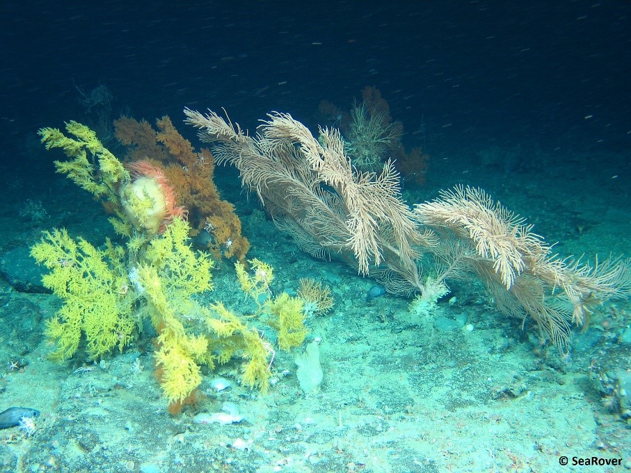
Modelled habitat maps: Over 80 habitat models, across five sea basins, have been collated by the project to date. Modelled species and habitats on the portal include black corals, brown algae, carbonate sands, seagrass and sea pens.
Point data: Habitat point data from ground-truthing data in European waters are collated by EMODnet Seabed Habitats partners from a variety of source datasets and conformed and standardised into the portal's Darwin-core compliant schema (used by EMODnet Biology and EurOBIS and INSPIRE data specifications).
Composite products: EMODnet’s growing collection of habitat maps and point data provides a great opportunity to create other data products showing the best-known extent and distribution of important habitats in Europe. Habitat mapping products such as Essential Ocean Variables (Seagrass cover, Macroalgal canopy cover and Live hard coral cover) have been created by the project team as a result of direct engagement with stakeholders and a review of their mapping requirements.