The EMODnet Portal has recently been updated with restructured datasets on seafloor geology and submerged landscapes. The Sea-floor Geology work package of EMODnet Geology project has updated and published on-line on the EMODnet Portal map layers on geomorphology, Quaternary and pre-Quaternary geology. Marine Geomorphology comprises seafloor features describing the submarine “seascapes”, such as abyssal plains, submarine seamounts and canyons or glacial scouring marks. The geology layers contain information on the age of the submarine rocks (such as Jurassic), their type (e.g. chalk, basalt or sand) and their genesis (e.g. volcanic, sedimentary or glacial).

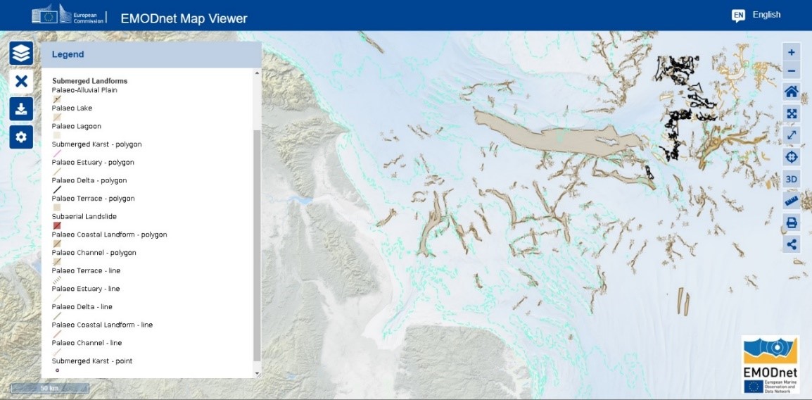
EMODnet Geology WP8 – Submerged Landscapes – Data Structure/Layers. These submerged landscapes map layers show the different data types included in the work package. ©EMODnet Secretariat
In addition to updating the geomorphology, Quaternary and pre-Quaternary geology layers, EMODnet experts have restructured the data and the attribute tables so that the user can view the layer contents simplified to facilitate the use of the data.
The objective of the Submerged Landscapes work package is to compile and harmonise available information on submerged landscape features by integrating existing records of palaeoenvironmental indicators with interpretations of geomorphology, stratigraphy, and type of sediment. During this project phase, submerged landscapes WP has been involved in a major overhaul of the existing, harmonised datasets into a new data product structure. The user guide has also been refreshed to reflect these changes and to enable project partners to submit data more effectively. This will correct many reported issues and provide improved/simplified attribution and layer names to avoid confusion with other data products. This process has been critical to ensure that the metadata is consistent, which will improve the usability of the digital data products for all our users/stakeholders.

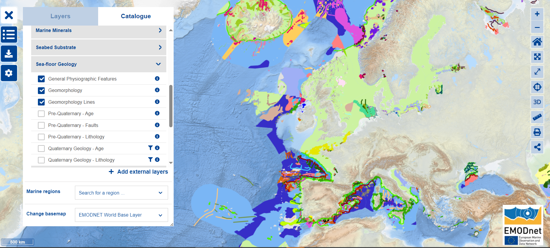
EMODnet Geology Map layers “general physiographic features” and “geomorphology” (state 2024-12-16) on top of EMODnet Bathymetry ©EMODnet Secretariat
The updated datasets (including the metadata) of both EMODnet Geology work packages went ‘live’ on the EMODnet Central Portal at the end of November 2024.
"Over the final year of our contract, we will roll out a series of impactful data releases—from new parameters like geotechnical data to improved resolution and coverage—and gradually integrate these updates into the EMODnet Portal map viewer, making it well worth checking in regularly." Anu Kaskela EMODnet Geology coordinator (GTK – Geologian tutkimuskeskus, Finland

List of EMODnet Geology WP8 – Submerged Landscapes – Data Structure/Layers. These submerged landscapes map layers show the different data types included in the work package. ©EMODnet Geology, List of collected Submerged Landscape features compiled by BGS and the project members
