European Atlas of the Seas
About the Atlas
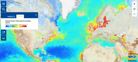
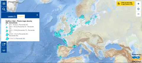
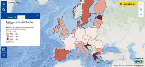
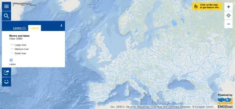
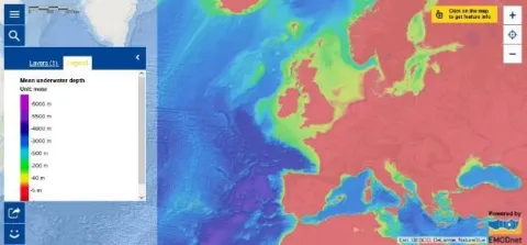
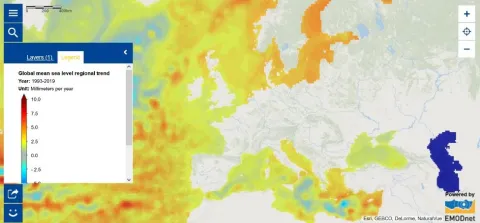
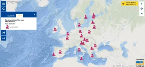
The European Atlas of the Seas provides information about Europe’s marine environment, covering topics such as nature, tourism, security, energy, passenger transport, sea bottom, sea level rise, fish consumption, and much more.
Users can benefit from an enriched catalogue with more than 270 map layers to explore, collate and create their own marine and coastal maps. These maps can be printed, shared and embedded in articles or presentations. The Atlas is the ideal tool for schools, researchers and professionals, or anyone wishing to enhance their knowledge.
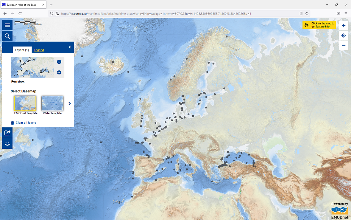
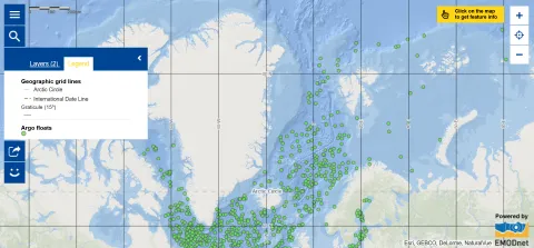
Click on this map and explore it to learn about the position of ferrybox, an automated surface water monitoring system, in the seas and ocean worldwide. Then dive in the Atlas to discover all of the other available map layers!
24 official languages of the European Union
It aims to raise awareness of Europe's seas and coasts in the context of the EU's integrated maritime policy. To improve accessibility to all EU citizens, the Atlas is available in the 24 official languages of the European Union.
Map of the Week
Each week, on this website, we put the spotlight on a new map worth exploring. Take a moment to tune in and enhance your marine knowledge!