EMODnet Bathymetry kicks-off Phase III with a new look, user-friendly portal providing access to its harmonised Digital Terrain Model (DTM) for the European sea regions. This DTM is generated by the EMODnet Bathymetry partnership on the basis of an increasing number of bathymetric data sets. These are managed as survey data sets and composite DTMs by data providers from government and research. Services for discovery and requesting access to these data sets are also provided. The portal provides clear and concise information on what exactly is available via the portal including the following geographical information system layers:
- water depth in gridded form over entire maritime basin on a grid of 1/8 * 1/8 arc minutes (ca 230 meter grid)
- water depth in vector form with isobaths at a scale of at least one to one million
- depth profiles along user drawn tracks
- tracklines / coverage of bathymetric surveys, including metadata, underpinning the water depths
- undersea features
- wrecks
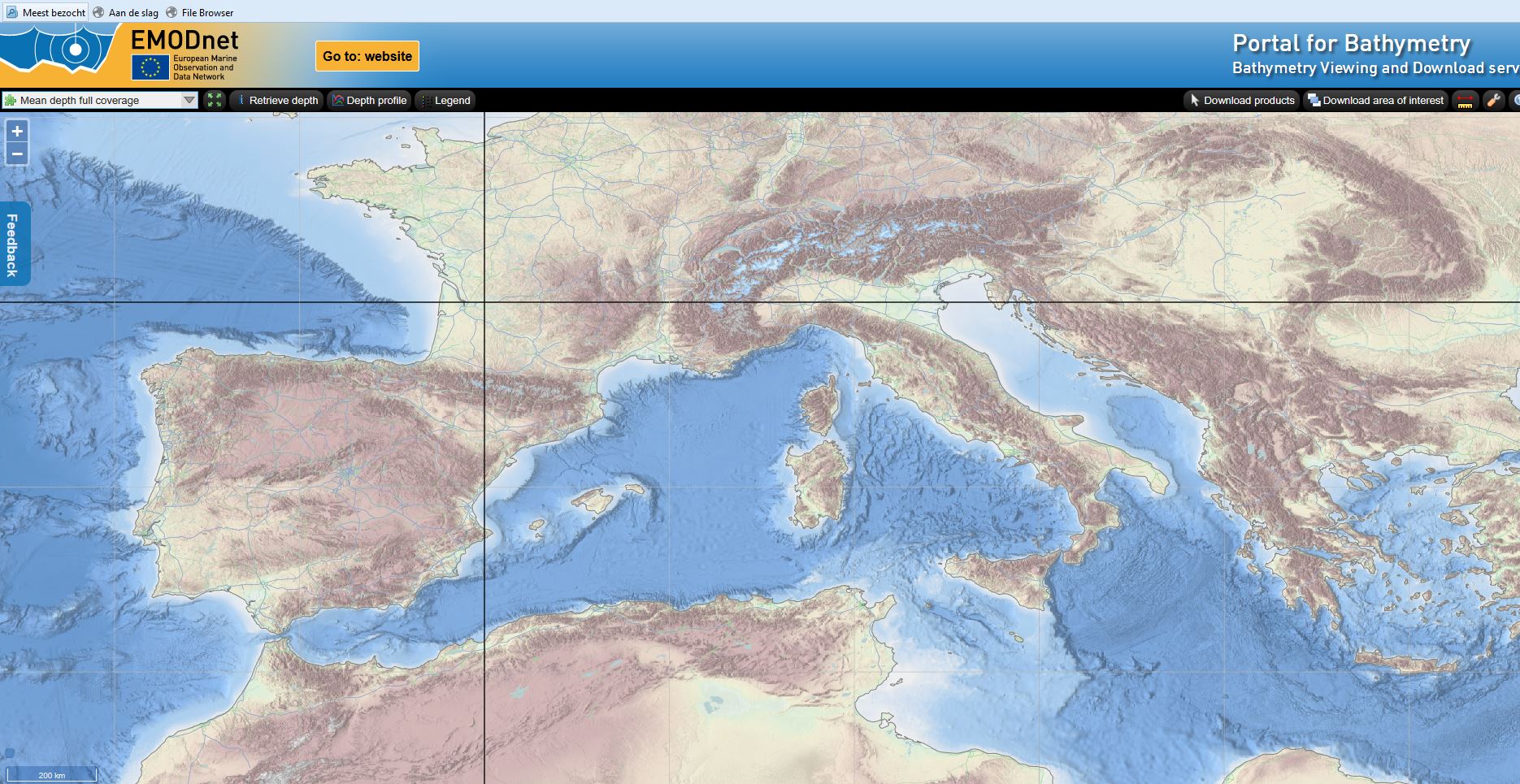
These layers are made available in the Bathymetry Viewing and Download service. The portal also provides a CDI Data Discovery and Access service to identify and request access to bathymetric survey data that are acquired and managed by distributed data providers. A selection of these data sets are used for the EMODnet Digital Terrain Model (DTM). Moreover the portal provides a Sextant Catalogue service to describe and identify composite DTMs that were contributed by data providers instead of bathymetric survey data as input for the EMODnet DTM.
The GIS layers in the Bathymetry Viewing and Download service can be shared as OGC WMS and WCS services with other EMODnet portals and beyond. Also WMS layers from other EMODnet portals and external services can be added to the Bathymetry Viewer and Download service. EMODnet Bathymetry has adopted standards for the marine domain that have been developed and are maintained by the SeaDataNet community.
Should anything remain unclear for users, the new Bathymetry portal also features a help desk function to respond to user queries.