The EGU is a non-profit international union of scientists with about 19,500 members from all over the world. It is the leading organisation for Earth, planetary and space science research in Europe. It aims to promote basic geoscientific research and applied research on important social and ecological challenges. The EGU General Assembly was a hybrid event that took place in Vienna (Austria) from April 14 to 19. More than 21,000 participants from 130 countries attended the event this year. More than 16,000 presentations were given in 938 sessions in 2023.
EGU 2024: ongoing international cooperation to address ocean acidification
EMODnet Chemistry was at the recent European Geosciences Union General Assembly (EGU 2024) in Vienna to talk about the work being done with NOAA and UNESCO to provide more accurate and detailed open-access data on ocean acidification. This is crucial for monitoring and reporting on progress towards specific ocean acidification targets under the UN 2030 Agenda for Sustainable Development.
On 18 April EMODnet Chemistry gave a presentation entitled ‘Ocean Acidification: Weaves to be tied on European and global scale’ in the session ‘Earth Observations (EO) for Assessing and Monitoring the United Nations (UN) Sustainable Development Goals (SDG)’
In this session the contributions were centred on EO-driven scientific approaches, EO-based tools, and EO scientific initiative and projects to build, assess and monitor UN SDGs indicators. Specifically, EO data, including satellite and in-situ networks, and related systems to collect and store EO data and use them for analytics and machine learning were illustrated with respect to their role in making the SDG indicators' monitoring and reporting viable and comparable across countries.
EMODnet Chemistry’s presentation focused on SDG target 14.3, which addresses ocean acidification, and SDG 14.3.1, which calls for average ocean acidity (pH) and guidelines for monitoring and reporting ocean acidification data.
It is common knowledge that the absorption of man-made CO2 by the ocean changes the chemistry of seawater, leading to a drop in pH and thus ocean acidification. This has multiple consequences for all marine life. To face this global environmental emergency, EMODnet Chemistry has been working closely with NOAA and UNESCO to make ocean acidification data findable, accessible, interoperable and reusable. The collaboration aims to enable global comparisons of changes in ocean chemistry and to provide a unified, globally coordinated, sustainable, long-term observation network and database. Detailed vocabularies and the corresponding metadata will ensure the correct description of the carbonate system and thus the long-term usability of the data, including reliable trend calculations.
This joint effort will provide more accurate and detailed open access data and help policy and decision makers to communicate more clearly and precisely about the impacts of climate change on marine ecosystems and resources, enabling holistic approaches.
EMODnet Geology showcased at the EGU General Assembly 2024
EMODnet Geology was showcased at the EGU and enabled a broad presentation of EMODnet Geology along with its products, e.g., the seabed erosion index database now being developed. The current EMODnet Geology consortium consists of 40 partners and subcontractors aiming to provide harmonised marine geological data products for the sustainable use of our seas.
EMODnet Geology showcased its comprehensive efforts in marine geological data management at the EGU General Assembly 2024 from 15-19 April during session ESSI4.5 for Geologic Mapping of Extreme Environments. The event brought together some 18 300 geoscientists from more than 110 countries around the world. It offered a unique opportunity for our scientists, researchers, and visiting industry professionals to share their latest findings, innovations, and enabled a broad presentation of EMODnet Geology and its products, e.g., the seabed erosion index development, seabed volcanic and structural events mapping deep oceans, coastal hazards, or portrait the development of semi-automated mapping method.
EMODnet Geology has been instrumental in compiling and harmonising data on sea-floor geology, seabed substrates, coastal behaviour, geological events, marine mineral resources and submerged landscapes among others. By assembling fragmented marine information into open and freely accessible data layers, the project fosters a better understanding of the ocean floor and its resources. Notably, the project's scope extends beyond European seas, encompassing the Caspian and Caribbean Seas, further enhancing the project's global impact. The current consortium consists of 40 partners and subcontractors, including the European geological surveys (EuroGeoSurveys) and various expert organisations.
EMODnet Geology's presence at EGU 2024 highlighted the project's contributions in unlocking the marine data and emphasized the importance of accessible, reliable, high-resolution marine data for researchers, policymakers, and the public.
One of the latest additions to the EMODnet Geology data catalogue is the seabed erosion index database, i.e., literature catalogue of erosion studies. The first version of the database includes information (e.g., purpose, time frame, erosion rate and data availability) about known erosional studies and different erosional areas. The index data collection will continue within the current phase of the EMODnet Geology (2023-2025), serving as the basis for discussion on which kind of erosional data information could be the most valuable, as well as widely feasible and useful.
EGU 2024 also included examples of how EMODnet Geology data products have been used in other contexts. For example, EMODnet Geology provides Quaternary information from offshore areas to the International Quaternary Map of Europe project (IQUAME 2500). EMODnet Geology seabed events mapping support regional study of Iceland and provides evidence of volcanism and former rift axis within the southern extent of the Iceland-Faroe Ridge. Furthermore, it was presented how regional and local research efforts, such as the analysis of offshore faults in Turkey, contribute to EMODnet Geology.
Discover Europe’s seabed geology from the EMODnet Portal: https://emodnet.ec.europa.eu/en
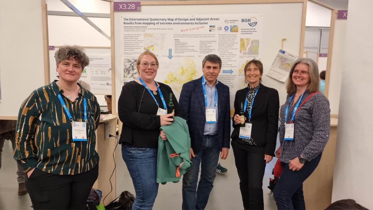
EMODnet Geology provides Quaternary information from offshore areas to the International Quaternary Map of Europe project (IQUAME 2500, ©Kristine Asch, BGR).

EMDODnet Geology seabed events mapping supporting regional study of Iceland and provides evidence of volcanism and former rift axis within the southern extent of the Iceland-Faroe Ridge (Erlendsson et al., 2024; https://doi.org/10.5194/egusphere-egu24-20264 , https://zenodo.org/records/10970635 )(©Anett Blischke (Iceland GeoSurvey).