 Forecasting extreme natural phenomena, marine spatial planning, rescue operations as well as ecosystem and climate modelling depend on ocean monitoring and efficient operational oceanography systems. To do so, access to high quality and resolution data is needed so data can be shared non-stop from different sources.
The challenge of the EuskOOS operational oceanography system of the Basque coast is to disseminate the marine data collected from the Basque Country making them part of global efforts (e.g. the Global Ocean Observing System – GOOS, the European Global Ocean Observing System – EuroGOOS, the Ireland-Biscay-Iberia Regional Operational Oceanographic System – IBIROOS, etc.).
Instead of building the system from scratch, EuskOOS decided to reuse the widget made available by EMODnet Physics such as the data products and the map sharing service to build its regional operational oceanography system. Through the EuskOOS portal, the end-user can have a local focus (in 4 languages) on the activities and applications of Operational Oceanography along the Basque Coast. This allowed EuskOOS to save time and resources, and its users are now able to find easily a local bridge towards the complete EMODnet portal.
EuskOOS is also now one of the EMODnet contributors, providing data of the coastal observing system (fixed platforms, HF Radars) into the European Marine Observation and Data Network.
About EuskOOS
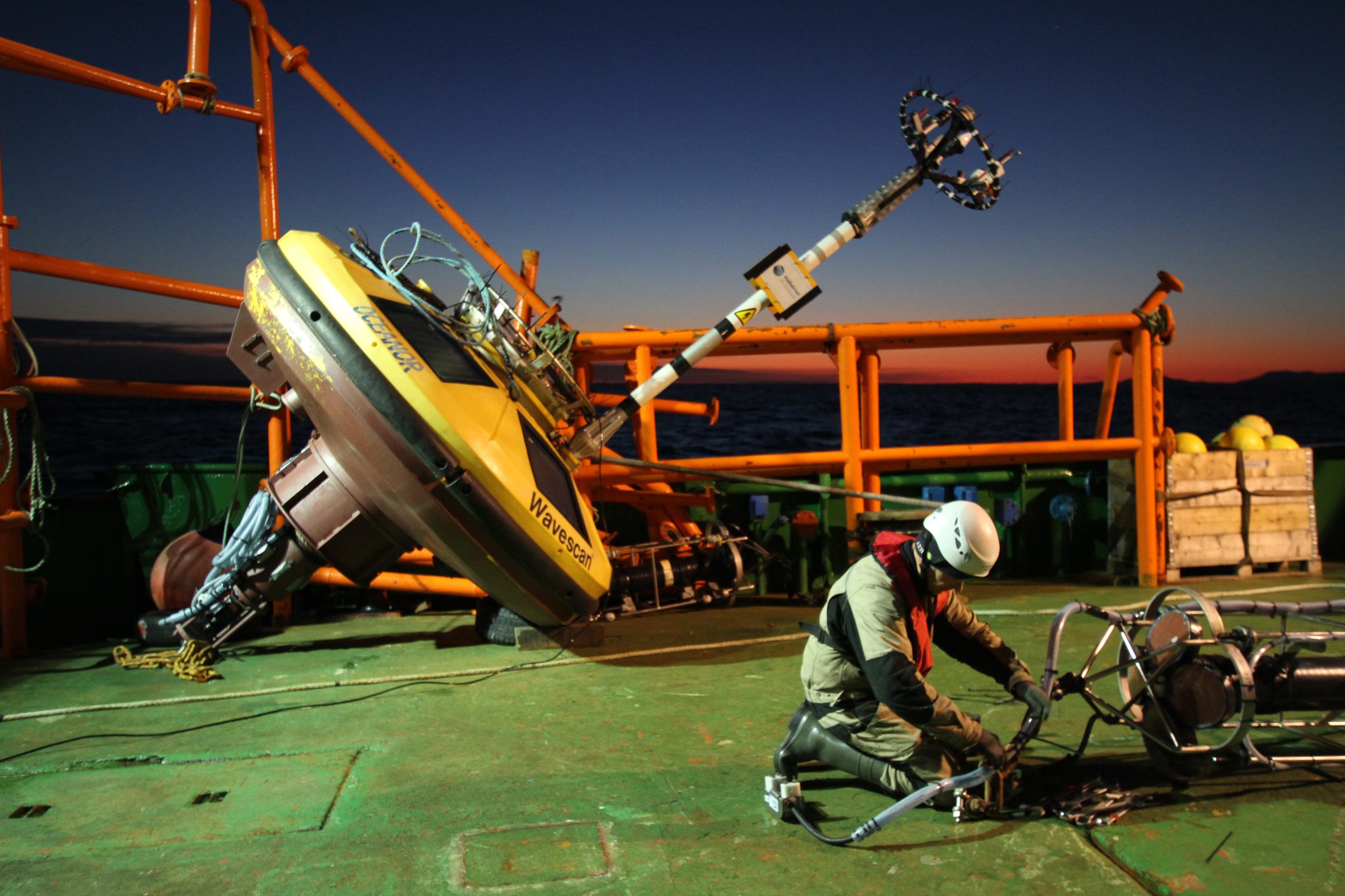
EuskOOS is the operational oceanography system of the Basque coast operated by Euskalmet with the expert advice of AZTI technological centre. The EuskOOS system provides an accurate description of current sea conditions along the Basque coastline, offers ongoing forecasts of future sea conditions and supplies ocean-meteorological products to Basque coastal users.