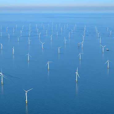
This challenge determined the suitability of sites for offshore wind farm development in the North Atlantic (in 4 different areas), to assess whether the current available marine data sets are available and appropriate to the use case, as well as to indicate gaps in the current EU data collection framework.
The Wind Farm challenge attempted the creation of suitability maps for wind farm siting in four areas in the North Atlantic. The aerial coverage for each site wass determined by setting up a circular buffer zone with a 1.0⁰ radius (~110 km) which centred on geographic points stated in the project tender.
At a point where waters of France, Ireland and UK meet | At a point in Bay of Biscay where waters of France and Spain meet at 500 m depth | At the southern border of Portugal and Spain by 20 m depth | At a site off the São Miguel island in the Azores archipelago |

| 
| 
| 
|
Extent: S:47⁰ 02.57´ W:-11⁰ 6.95´ E:-9⁰ 5.00´ N:49⁰ 04.60´ | Extent: S:42⁰ 52.32´ W:-3⁰ 10.27´ E:-1⁰ 10.12´ N:44⁰ 52.70´ | Extent: S:36⁰ 8.00´ W:-8⁰ 23.33´ E:-6⁰ 23.40´ N:38⁰ 8.16´ | Extent: S:37⁰ 49.60´ W:-26⁰ 17.40´ E:-24⁰ 16.79´ N:39⁰ 49.87´ |
IPMA (lead), Ifremer, AZTI, HR Wallingford
Data providers
A significant number of data sources were discovered with potential for underpining offshore windfarm siting in the North Atlantic area, with the majority of data displaying good accessibility. Most of the data providers are institutional organizations maintaining public services but the private sector is also represented. As wind farm siting requires a wide range of multisectorial variables, the data sources captured concern all environmental matrices defined to classify the datasets.
Data availability
Overall, most data sources showed acceptable capacity to supply data to stakeholders though some are difficult to find or to access.
Access to products
The challenge partners ("the producers") were commissioned to perform a number of tests to evaluate marine data according to set user requirements. The table below enables:
- to discover :
- the Data Product Specifications (DPS) which describe data products in terms of user requirements according to ISO19131 principles and provide the basis for the quantitative assessment of the Products (Quality measures and scope of application) and of the Upstream Data sets supplied to- and used by- the challenges to create them.
- the Results (TDP) which describe the Data Product created together with the quantitative assessments (Quality measures and indicators) and the expert opinion. - to download the products (shapefile, excel, pdf) on an "as is" basis. All downloads suppose acceptance of the use limitations described in the “Expert opinion” and the “Legal constraints” accessible using the link to the Results.
- to view the spatial data products (Maps) using a webGIS.
- Data product were scored by experts from 1 to 5, resp. inadequate to excellent. The score is mentioned in the last column. “Good” means the Product was achieved to at least 50% of the requirements. “Inadequate” means “Impossible to produce or fails to meet all the objectives (not usable)”.