The EMODnet Secretariat is delighted to release EMODnet for Policy, the fifth video of a series of eight illustrating the fundamental role of EMODnet in society.
The EMODnet Secretariat is delighted to release EMODnet for Aquaculture, the fourth video of a series of eight illustrating the fundamental role of EMODnet in society.
From Autumn 2020 to February 2021 the European Commission (DG MARE) launched a public consultation towards a common EU approach to ocean observation. The consultation took part in two phases and aimed to gather opinions on the effectiveness, efficiency and fitness for purpose of ocean observation by the EU and its member states.
The EMODnet Secretariat is delighted to release EMODnet for Maritime Spatial Planning (MSP), the third video of a series of eight illustrating the fundamental role of EMODnet in society.
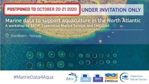
The European Aquaculture Technology and Innovation Platform (EATIP), EMODnet and Mercator Ocean International together with DG MARE and DG DEFIS postponed the event “Marine data to support aquaculture in the North Atlantic” to 20-21 October 2020 in Trondheim,
At the start of each New Year, it has become our tradition to take a moment to reflect on the past, take stock of our achievements and look forward to what the coming year will bring for our growing network of partners and users.
We’re delighted to announce the release of a new data product available on EMODnet Human Activities: traffic density maps. Based on AIS data from ships, these maps were prepared by the European Maritime Safety Agency (EMSA) in response to a series of ad-hoc requests to complement specific studies or projects.
As EMODnet marks 10 years since its initiation in 2009, experts from EMODnet and across the global ocean observation, monitoring and data communities were in Hawai’i for the decadal Conference OceanObs’19. In its third edition, OceanObs’19 has expanded to 1500 participants, with 2480 authors contributing to 128 Community White Papers, 600 posters and 60 exhibits from academia, industry and management, all at the Hawai’i Convention Center, Honolulu.
In March 2017, EMODnet Human Activities was mandated to create vessel density maps of EU waters showing the average number of vessels of certain type (cargo, passenger, fishing etc.) in a given period within a grid cell. Vessel density maps are by far the most requested GIS data product by EMODnet Human Activities users, according to a survey carried out in 2016. The maps went live on EMODnet Human activities for visualisation and download on 11 March 2019.


")