iAtlantic is a European Horizon 2020 project titled ”Integrated Assessment of Atlantic Marine Ecosystems in Space and Time”. It is a multidisciplinary research programme seeking to assess the health of deep-sea and open-ocean ecosystems. The project has undertaken an ocean-wide approach to understanding the factors that control the distribution, stability and vulnerability of deep-sea ecosystems. Their work spans the full scale of the Atlantic basin, from the tip of Argentina in the south to Iceland in the north, and from the east coasts of USA and Brazil to the western margins of Europe and Africa. Central to the project’s success is the international collaboration between scientists throughout the Atlantic region, with sharing of expertise, equipment, infrastructure, data and personnel placed at the forefront of iAtlantic’s approach. Read more about the iAtlantic project.
Research data generated in iAtlantic is made available through open-source data repositories such as PANGAEA - Data Publisher for Earth & Environmental Science and the South African Environmental Observation Network (SAEON). Where relevant, this data is also made available via EMODnet using the interoperability protocols provided by these repositories and using the data flows that are further developed during the iAtlantic Project.
This iAtlantic community page is being developed by EMODnet as a central hub for marine and maritime stakeholders to discover iAtlantic open data resources (catalogue of iAtlantic resources) and visualize and download geospatial data through a dedicated online GIS platform (iAtlantic Geonode).
Catalogue of iAtlantic resources
One of the aims of the iAtlantic Project was to integrate data resources from across the Atlantic in a searchable metadata catalogue with direct data access provisions. To achieve this, an All-Atlantic Ocean Data Community Portal was created on the Global Earth Observation System of Systems (GEOSS) Portal. This site contains a full catalogue of iAtlantic Resources (which you can discover through the link below), data from other H2020 Atlantic Projects as well as relevant datasets from PANGAEA and EMODnet.
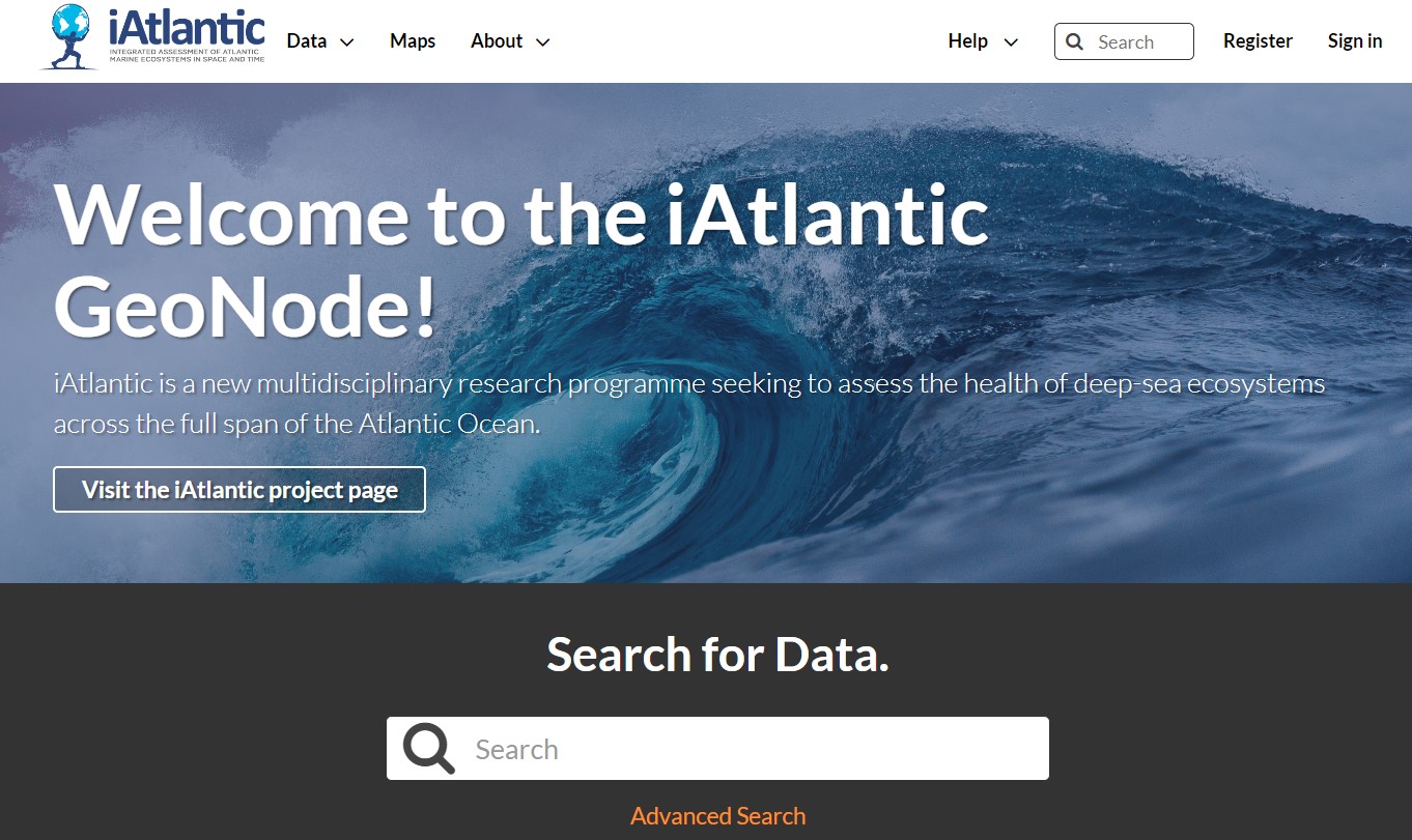
iAtlantic Geonode
The iAtlantic project also developed a geospatial Information System web platform that allows to search for, visualize, download and share over 370 (and counting) geospatial datasets. These include pre-existing geospatial datasets relevant to the iAtlantic work as well as new research outputs produced by the iAtlantic project. Its aim is to offer a user-friendly tool that benefits both project partners and broader stakeholders by:
- By providing the international iAtlantic partnership with a tool that aids in cruise planning and the execution of the iAtlantic work plan.
- Visualizing the coverage of datasets crucial to the sustainable management and protection of the Atlantic marine ecosystem.
- Making the iAtlantic research output more Findable, Accessible, Interoperable and Reusable (FAIR) and thus facilitating its wider dissemination.
This community page is enabled by EMODnet Central Portal and the EMODnet Secretariat (administered by Seascape Belgium), with collaboration across H2020 iAtlantic project consortium that comprises 33 partner organisations from Europe, Brazil, South Africa, Argentina, Canada and the USA, complemented by a wider network of associated partners.
We acknowledge the financial contribution from the European Union for EMODnet (EC, DG MARE) and the H2020 iAtlantic project, grant agreement No 818123 (iAtlantic).