![]()
Mission Atlantic is a European Horizon 2020 funded project that aims to improve the understanding of Atlantic Ocean ecosystems and drivers of change that impact marine biodiversity and ocean resources through the development of Integrated Ecosystems Assessments (IEAs). IEAs enable identification of ecosystem components most at risk from natural hazards and the consequences of human activities. Mission Atlantic employs all available information on those sources, the pressures they impose and the ecosystem components that are affected, to identify the most important risk factors influencing sustainable development. To support IEAs, Mission Atlantic partners map, model and assess Atlantic Ocean ecosystems under the influence of climate change and exploitation. In support of the Bélem Statement, the project brings together scientists, managers and stakeholders from Brazil, South Africa and the European Union as well as the United States & Canada. Read more about the Mission Atlantic project.
Research and monitoring data generated in Mission Atlantic is made available through open-source data repositories such as the Integrated Marine Information System (IMIS). Where relevant, this data is also made available via EMODnet using the interoperability protocols provided by these repositories and using the data flows that are further developed during the Mission Atlantic Project.
This Mission Atlantic community page is being developed by EMODnet as a central hub for marine and maritime stakeholders to discover datasets produced by Mission Atlantic and to visualize and download geospatial data through a dedicated online GIS platform: the Mission Atlantic Geonode.
Catalogue of datasets produced by Mission Atlantic
Research data outputs from Mission Atlantic are being collected, and attached with high quality metadata, in the Integrated Marine Information System (IMIS) open-source data repository hosted by the Flanders Marine Institute (VLIZ). This repository contains a full catalogue of Mission Atlantic datasets, which you can discover through the link below.
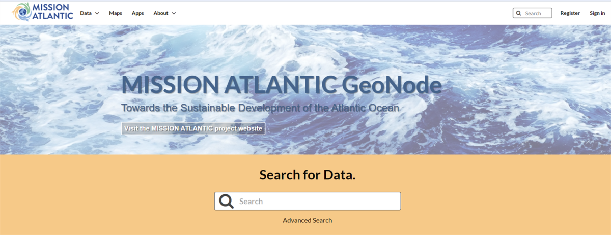
Mission Atlantic Geonode
The Mission Atlantic project also developed a web-based Geospatial Information System that allows to search for, visualize, download and share over 25 (and counting) geospatial datasets produced by the project. Its aim is to offer a user-friendly visualization and sharing tool that benefits both project partners and broader stakeholders by making project research output more Findable, Accessible, Interoperable and Reusable (FAIR) and thus facilitating its wider dissemination and helping to share datasets crucial to the sustainable management of the Atlantic Ocean Ecosystems. In addition, it provides standard web services to access the Mission Atlantic datasets and products in other applications.
This community page is enabled by EMODnet Central Portal and the EMODnet Secretariat (administered by Seascape Belgium), with collaboration across H2020 Mission Atlantic project consortium that comprises 33 partner organisations from Europe, Africa, North and South America, complemented by a wider network of associated partners.
We acknowledge the financial contribution from the European Union for EMODnet (EC, DG MARE) and the H2020 Mission Atlantic project, grant agreement No 862428 (Mission Atlantic).