From Autumn 2020 to February 2021 the European Commission (DG MARE) launched a public consultation towards a common EU approach to ocean observation. The consultation took part in two phases and aimed to gather opinions on the effectiveness, efficiency and fitness for purpose of ocean observation by the EU and its member states.
The EMODnet Secretariat is delighted to release EMODnet for Maritime Spatial Planning (MSP), the third video of a series of eight illustrating the fundamental role of EMODnet in society.
At the onset of each New Year, we take a moment to reflect on the past, consider our main achievements and look forward to what the coming year will bring for our evolving network of partners and users.
Today, EU-China collaborations on marine data and knowledge sharing took a new step forward with the signing of a Memorandum of Understanding (MoU) between the European Marine Observation and Data Network (EMODnet) and the National Marine Data and Information Service (NMDIS) of China.
The EMODnet Secretariat is delighted to release EMODnet for business, the second video of a series of eight illustrating the fundamental role of EMODnet in society.
Seabed substrate harmonisation is done by reclassifying the diverse national data by using a modified Folk classification system. This EMODnet reclassification scheme includes at least five seabed substrate classes and is supported by European nature information system, EUNIS.
EMODnet Bathymetry is pleased to announce the release of the latest version of the EMODnet Bathymetry Digital Terrain Model (DTM). This improved DTM provides users with even greater resolution and coverage of bathymetry across European seas and beyond.
Alan Edwards explains why EMODnet is vital to support policies that allow us to “sustainably use Europe’s marine resources whilst conserving them for future generations.”
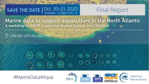
The final report from the workshop “Marine Data to Support Aquaculture in the North Atlantic” that took place on 20-21 October 2020, is made publicy available on the Maritime Forum.
")